67 Bagot Street, Liverpool, L15 2HA
About 67 Bagot Street
67 Bagot Street is a three-bedroom end-of-terrace house in Liverpool (L15 2HA). It has a recorded floor area of 110 m² (around 1184 sq ft), construction records dating it to 1900-1929 and council tax band A. The latest certificate (February 2025) shows a D (score 64), on the cusp of jumping into the C band. When first surveyed in March 2010 the rating was E, the property has climbed 1 band since. Between certificates, wall efficiency went from Very Poor to Poor, roof efficiency went from Very Poor to Very Good and lighting went from Good to Very Good. The recommended improvements would lift it to B (score 85), a 2-band jump.
At 110 m² the property is well over the postcode median (62 m² across 66 EPCs), placing it in the larger end of the local stock. A recent sale: £155,000 in October 2025. Across 1998–2025, sale prices on this property compounded at 6.7% per year. Today's modelled estimate of £178,000 is 14.8% above the 2025 sale price. On a £-per-square-foot basis, the last sale (£131/sq ft) was about 99.2% above the typical sold price in the postcode.
Know exactly what you're buying at 67 Bagot Street
Before you offer, see what the listing won't tell you, the true value, the red flags and the full history.
Already flagged here
Valuation
against the asking price
Risks
planning & flood
Sold prices
similar homes nearby
Trends
the local market
What this property has
Inside
- Bedrooms3
- Bathrooms1
- EnsuiteYes
Building
- Heating systemGas
- RefurbishedYes
Energy performance
Recommended upgrades on file would lift this property by multiple EPC bands.
EPC Rating
Property Improvements
Changes detected from historical EPC data
Low energy lighting percentage decreased
Heating controls changed
Wall insulation improved
Loft insulation installed or upgraded to 250mm+
More low energy lighting installed
Planning history
67 Bagot Street has no planning applications on record.
Notable planning nearby
65applications of note in the surrounding area
We flagged 1 thing worth checking at 67 Bagot Street
Independent checks surfaced things a buyer would want to understand before offering. The report explains each one in full, with the underlying data and what to ask.
- Signs of HMO activity in the area
30-day money-back guarantee
Sales history & valuation
Price for 67 Bagot Street has grown more than fourfold since the 1998 starting point.
£178,000
Modelled from EPC, postcode comparables and a sale-price growth of 6.7% per year over 28 years.
£155,000
Growth on file: 6.7% per year over 28 years.
Sales timeline
31 October 2025Most recent
£155,000
+55.1%over 21 years22 April 2004
£99,950
+284.4%over 5 years30 April 1998
£26,000
Median price across the last 5 sales in L15 2HA: £180,000 (2023–2020).
Nearby sales in L15 2HA
Everything we know about 67 Bagot Street, in one report
What it's really worth, what could be wrong, and the planning, sales and area data in full.
What we flagged
- Signs of HMO activity in the area

Versus other Bagot Street homes
Years Held for 67 Bagot Street lags the street by a wide margin.
Price per m²
£1,409
Street avg £11,136
Floor Area
110 m²
Street avg 134 m²
Habitable Rooms
6 rooms
Street avg 7 rooms
CO₂ Emissions
4.7 t/year
Street avg 5.4 t/year
Similar properties nearby
10 Langton Road, Wavertree
L15 2HT
100 Woodcroft Road
L15 2HQ
102 Cranborne Road
L15 2HZ
1 Dorset Avenue
L15 2JA
10 Childwall Avenue
L15 2JB
10 Altcar Avenue
L15 2JD
10 Dorset Avenue
L15 2JA
10 Cranborne Road
L15 2HX
The neighbourhood at a glance
Reported crime in the wider district is trending notably upward year-on-year.
Crime
6/mo
Rising year-on-year across the wider district.
Nearest stop
0.2 km
Talton Road — bus stop.
Closest school
0.2 km
Lawrence Community Primary School. 61 schools nearby.
Go deeper on the local area
The full report breaks down crime, transport links, schools and air quality in depth.
Road noise across the postcode
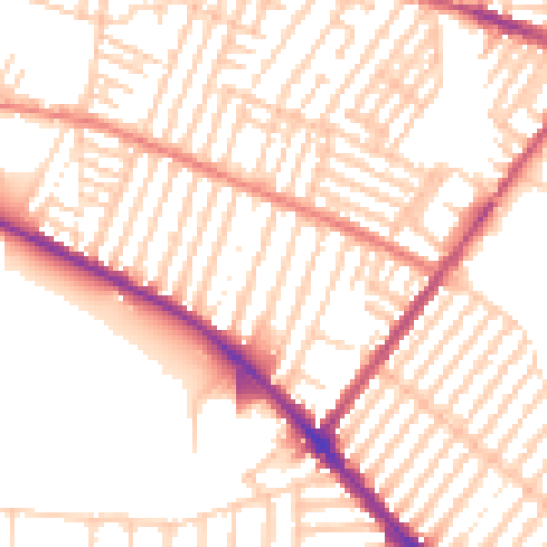
Daytime· 07:00 – 23:00
53.1dB

Night-time· 23:00 – 07:00
42.3dB