32 Callow Road, Liverpool, L15 0HP
About 32 Callow Road
32 Callow Road is a mid-terrace house in Liverpool (L15 0HP). It has a recorded floor area of 87 m² (around 936 sq ft), construction records dating it to 1900-1929 and council tax band A. The latest certificate (October 2019) shows a D (score 68), on the cusp of jumping into the C band. When first surveyed in July 2011 the rating was E, the property has climbed 1 band since. Between certificates, roof efficiency went from Very Poor to Average, window efficiency went from Poor to Average and lighting went from Poor to Very Good. The recommended improvements would lift it to B (score 86), a 2-band jump.
One planning record on file: HMO conversion approved in 2023. Past consents include HMO conversion, meaningful when judging how the property has evolved. Across 2004–2019, sale prices on this property compounded at 0.6% per year. Today's modelled estimate of £135,000 is 38.5% above the 2019 sale price. On a £-per-square-foot basis, the last sale (£104/sq ft) was about 25% above the typical sold price in the postcode. Last sale on file: £97,500 in April 2019.
Know exactly what you're buying at 32 Callow Road
Before you offer, see what the listing won't tell you, the true value, the red flags and the full history.
Already flagged here
Valuation
against the asking price
Risks
planning & flood
Sold prices
similar homes nearby
Trends
the local market
Energy performance
Recommended upgrades on file would lift this property by multiple EPC bands.
EPC Rating
Property Improvements
Changes detected from historical EPC data
Windows upgraded, improving insulation
Heating controls upgraded for better temperature management
Roof insulation improved
More low energy lighting installed
Planning history
- Mar 2023HMOOutlineIn report
Application for Certificate of Existing Lawful Development for a House in Multiple Occupation for 3-6 persons (Use Class C4).
- Documents
- 6 docs on file
- Reference
- 22LE/3422
We flagged 1 thing worth checking at 32 Callow Road
Independent checks surfaced things a buyer would want to understand before offering. The report explains each one in full, with the underlying data and what to ask.
- Signs of HMO activity in the area
30-day money-back guarantee
Sales history & valuation
32 Callow Road's sale-price growth has lagged the wider UK trajectory across its history on file.
£135,000
Modelled from EPC, postcode comparables and a sale-price growth of 0.6% per year over 15 years.
£97,500
Growth on file: 0.6% per year over 15 years.
Sales timeline
7 April 2019Most recent
£97,500
-6.3%over 12 years3 May 2006
£104,000
+15.6%over 1 year27 September 2004
£89,950
Median price across the last 5 sales in L15 0HP: £120,111 (2025–2023).
Everything we know about 32 Callow Road, in one report
What it's really worth, what could be wrong, and the planning, sales and area data in full.
What we flagged
- Signs of HMO activity in the area

Versus other Callow Road homes
On floor area, 32 Callow Road stands well clear of the street.
Price per m²
£1,121
Street avg £1,190
Floor Area
87 m²
Street avg 82 m²
Habitable Rooms
5 rooms
Street avg 5 rooms
CO₂ Emissions
3.4 t/year
Street avg 3.4 t/year
Similar properties nearby
The neighbourhood at a glance
Reported crime in the wider district is trending notably upward year-on-year.
Crime
6/mo
Rising year-on-year across the wider district.
Nearest stop
0.1 km
Talton Road — bus stop.
Closest school
0.1 km
Lawrence Community Primary School. 65 schools nearby.
Go deeper on the local area
The full report breaks down crime, transport links, schools and air quality in depth.
Road noise across the postcode
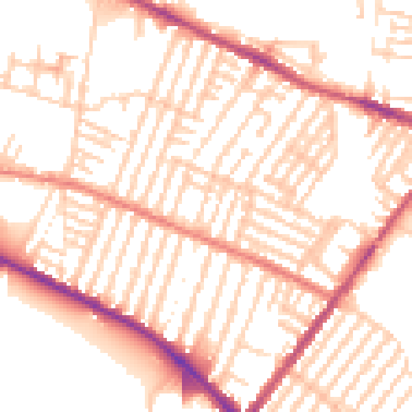
Daytime· 07:00 – 23:00
53.2dB

Night-time· 23:00 – 07:00
42.4dB