12 Libra Close, Liverpool, L14 9LX
About 12 Libra Close
12 Libra Close is a semi-detached house in Liverpool (L14 9LX). It has a recorded floor area of 69 m² (around 739 sq ft), construction records dating it to 1996-2002 and council tax band B. The latest certificate (September 2011) shows a C (score 69), just inside the C band. The latest certificate is from September 2011, so improvements made since then won't be reflected.
It hasn't traded since May 1997, a hold of 29 years that's notably long for the area. Only one transfer is on record with HM Land Registry, suggesting it has stayed in the same hands for a long time. Today's modelled estimate of £190,000 sits 322.7% above the 1997 sale of £44,950. On a £-per-square-foot basis, the last sale (£61/sq ft) was about 34.5% below the postcode norm.
Everything you need to know about 12 Libra Close
The true value, the hidden risks and the full sale history, in one report.
Pick your report · every report is £14.99
One time fee only - money back guarantee

The data behind every report


Energy performance
12 Libra Close's EPC is over a decade old — improvements since won't be reflected.
EPC Expired
This certificate is over 10 years old and is no longer valid.Expired 10 Sept 2021
EPC Rating
Get a survey for this property
Level 2 HomeBuyer Report
We've checked 10 risk factors against the available data for this property and believe a Level 2 HomeBuyer Report could be a suitable option for you.
From £495 · Includes VAT
Planning history
12 Libra Close has no planning applications on record.
A planning report still maps activity across the surrounding area and reads this property's extension & conversion potential.
Sales history & valuation
12 Libra Close's modelled value sits at over four times its earliest registered sale price (1997).
£190,000
Modelled from EPC, postcode comparables.
£44,950
Recorded with HM Land Registry.
Sales timeline
22 May 1997Most recent
£44,950
Median price across the last 5 sales in L14 9LX: £171,000 (2025–2021).
Versus other Libra Close homes
Price per m² for 12 Libra Close lags the street by a wide margin.
Price per m²
£655
Street avg £1,608
Floor Area
69 m²
Street avg 65 m²
Habitable Rooms
5 rooms
Street avg 4 rooms
CO₂ Emissions
2.7 t/year
Street avg 2.7 t/year
Everything you need to know about 12 Libra Close
The true value, the hidden risks and the full sale history, in one report.
Pick your report · every report is £14.99
One time fee only - money back guarantee
The data behind every report
Similar properties nearby
The neighbourhood at a glance
Reported crime in the wider district is trending notably upward year-on-year.
Crime
6/mo
Rising year-on-year across the wider district.
Nearest stop
0.2 km
Finch Way — bus stop.
Closest school
0.4 km
Blueberry Park. 38 schools nearby.
Go deeper on the local area
A Local Area report breaks down crime, transport links, schools and air quality in depth.
Road noise across the postcode
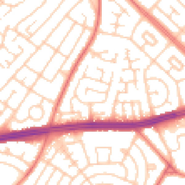
Daytime· 07:00 – 23:00
53.3dB

Night-time· 23:00 – 07:00
41.5dB