42 Capricorn Crescent, Liverpool, L14 9LS
About 42 Capricorn Crescent
42 Capricorn Crescent is a semi-detached house in Liverpool (L14 9LS). It has a recorded floor area of 57 m² (around 614 sq ft), construction records dating it to 1996-2002 and council tax band B. The latest certificate (April 2023) shows a C (score 69), just inside the C band. The recommended improvements would push it to B (score 89).
Held since September 2005 — that's 21 years off the open market, well above the local norm. Across 1999–2005, sale prices on this property compounded at 14.7% per year. Today's modelled estimate of £166,000 is 45.6% above the 2005 sale price. On a £-per-square-foot basis, the last sale (£186/sq ft) was about 135.1% above the typical sold price in the postcode.
Everything you need to know about 42 Capricorn Crescent
The true value, the hidden risks and the full sale history, in one report.
Pick your report · every report is £14.99
One time fee only - money back guarantee

The data behind every report


Energy performance
EPC Rating
Get a survey for this property
Level 2 HomeBuyer Report
We've checked 10 risk factors against the available data for this property and believe a Level 2 HomeBuyer Report could be a suitable option for you.
From £495 · Includes VAT
Planning history
42 Capricorn Crescent has no planning applications on record.
A planning report still maps activity across the surrounding area and reads this property's extension & conversion potential.
Sales history & valuation
42 Capricorn Crescent has more than doubled in price since the earliest registered sale in 1999.
£166,000
Modelled from EPC, postcode comparables and a sale-price growth of 14.7% per year over 7 years.
£114,000
Growth on file: 14.7% per year over 7 years.
Sales timeline
1 September 2005Most recent
£114,000
+147.9%over 6 years22 January 1999
£45,995
Median price across the last 5 sales in L14 9LS: £137,500 (2025–2024).
Nearby sales in L14 9LS
58 Capricorn Crescent, Liverpool, L14 9LS
Sold Oct 2025
£176,00026 Capricorn Crescent, Liverpool, L14 9LS
Sold Apr 2025
£120,0004 Capricorn Crescent, Liverpool, L14 9LS
Sold Mar 2025
£137,500104 Capricorn Crescent, Liverpool, L14 9LS
Sold Feb 2025
£150,000118 Capricorn Crescent, Liverpool, L14 9LS
Sold Jan 2024
£132,000
Versus other Capricorn Crescent homes
42 Capricorn Crescent outperforms the street on price per m² by a wide margin.
Price per m²
£2,000
Street avg £1,430
Floor Area
57 m²
Street avg 69 m²
Habitable Rooms
5 rooms
Street avg 5 rooms
CO₂ Emissions
2.4 t/year
Street avg 2.7 t/year
Everything you need to know about 42 Capricorn Crescent
The true value, the hidden risks and the full sale history, in one report.
Pick your report · every report is £14.99
One time fee only - money back guarantee
The data behind every report
Similar properties nearby
The neighbourhood at a glance
Reported crime in the wider district is trending notably upward year-on-year.
Crime
6/mo
Rising year-on-year across the wider district.
Nearest stop
0.2 km
Taurus Road — bus stop.
Closest school
0.4 km
Blueberry Park. 38 schools nearby.
Go deeper on the local area
A Local Area report breaks down crime, transport links, schools and air quality in depth.
Road noise across the postcode
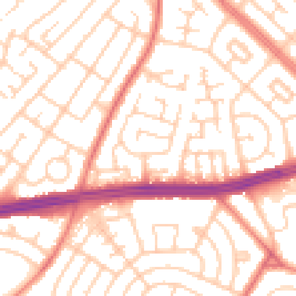
Daytime· 07:00 – 23:00
53.3dB

Night-time· 23:00 – 07:00
41.6dB