7 Penshaw Close, Liverpool, L14 8YN
About 7 Penshaw Close
7 Penshaw Close is a three-bedroom end-of-terrace house in Liverpool (L14 8YN). It has a recorded floor area of 71 m² (around 764 sq ft), construction records dating it to 2007-2011 and council tax band A. Tenure is freehold. The latest certificate (January 2023) shows a C (score 78), near the top of the C band. The rating has held steady at C across 2 certificates since December 2012. Between certificates, lighting went from Average to Very Good. The recommended improvements would push it to B (score 91).
Across 2007–2021, sale prices on this property compounded at -4.4% per year. Today's modelled estimate of £139,000 sits 85.3% above the 2021 sale of £75,000. On a £-per-square-foot basis, the last sale (£98/sq ft) was about 45.5% below the postcode norm. Most recent transfer: April 2021 at £75,000. That sale was during the post-pandemic price surge, when transactions cleared materially above pre-2020 trend.
What this property has
Inside
- Bedrooms3
Building
- TenureFreehold
Everything you need to know about 7 Penshaw Close
The true value, the hidden risks and the full sale history, in one report.
Pick your report · every report is £14.99
One time fee only - money back guarantee

The data behind every report


Energy performance
EPC Rating
Property Improvements
Changes detected from historical EPC data
Heating controls upgraded for better temperature management
More low energy lighting installed
Get a survey for this property
Level 2 HomeBuyer Report
We've checked 10 risk factors against the available data for this property and believe a Level 2 HomeBuyer Report could be a suitable option for you.
From £495 · Includes VAT
Planning history
7 Penshaw Close has no planning applications on record.
A planning report still maps activity across the surrounding area and reads this property's extension & conversion potential.
Sales history & valuation
7 Penshaw Close's sale-price growth has lagged the wider UK trajectory across its history on file.
£139,000
Modelled from EPC, postcode comparables and a sale-price growth of -4.4% per year over 14 years.
£75,000
Growth on file: -4.4% per year over 14 years.
Sales timeline
22 April 2021Most recent
£75,000
-46.4%over 13 years8 May 2007
£140,000
Median price across the last 5 sales in L14 8YN: £66,000 (2021–2012).
Nearby sales in L14 8YN
Versus other Penshaw Close homes
On years held, 7 Penshaw Close runs well behind the street norm.
Price per m²
£1,056
Street avg £1,477
Floor Area
71 m²
Street avg 71 m²
Habitable Rooms
5 rooms
Street avg 5 rooms
CO₂ Emissions
1.7 t/year
Street avg 2.2 t/year
Everything you need to know about 7 Penshaw Close
The true value, the hidden risks and the full sale history, in one report.
Pick your report · every report is £14.99
One time fee only - money back guarantee
The data behind every report
Similar properties nearby
1 Colwell Road
L14 8XY
1 Penshaw Close
L14 8YN
1 Wimborne Close
L14 8UH
1 Wimborne Place
L14 8AA
10 Brookdale Grove
L14 8AG
1 Callington Close
L14 8XP
1 Croxdale Road
L14 8XX
1 Torpoint Close
L14 8WY
The neighbourhood at a glance
Reported crime in the wider district is trending notably upward year-on-year.
Crime
6/mo
Rising year-on-year across the wider district.
Nearest stop
0.1 km
Finch Road — bus stop.
Closest school
0.5 km
St Brigid's Catholic Primary School. 33 schools nearby.
Go deeper on the local area
A Local Area report breaks down crime, transport links, schools and air quality in depth.
Road noise across the postcode
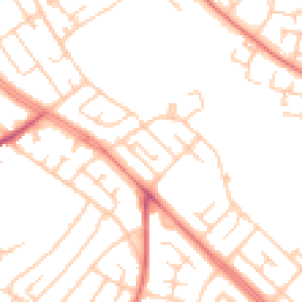
Daytime· 07:00 – 23:00
50.1dB

Night-time· 23:00 – 07:00
39.1dB