8 Callington Close, Liverpool, L14 8XP
About 8 Callington Close
8 Callington Close is a three-bedroom mid-terrace house in Liverpool (L14 8XP). It has a recorded floor area of 81 m² (around 872 sq ft), construction records dating it to 1967-1975 and council tax band A. The latest certificate (July 2023) shows a D (score 61), on the cusp of jumping into the C band. The recommended improvements would lift it to B (score 82), a 2-band jump.
It lags the bulk of the postcode on energy efficiency (less efficient than 77% of similar EPCs). Today's modelled estimate of £154,000 is 23.2% above the 2024 sale price. On a £-per-square-foot basis, the last sale (£143/sq ft) was about 58.8% above the typical sold price in the postcode. Most recent transfer: February 2024 at £125,000.
What this property has
Inside
- Bedrooms3
- Bathrooms1
Everything you need to know about 8 Callington Close
The true value, the hidden risks and the full sale history, in one report.
Pick your report · every report is £14.99
One time fee only - money back guarantee

The data behind every report


Energy performance
Recommended upgrades on file would lift this property by multiple EPC bands.
EPC Rating
Get a survey for this property
Level 2 HomeBuyer Report
We've checked 10 risk factors against the available data for this property and believe a Level 2 HomeBuyer Report could be a suitable option for you.
From £495 · Includes VAT
Planning history
8 Callington Close has no planning applications on record.
A planning report still maps activity across the surrounding area and reads this property's extension & conversion potential.
Sales history & valuation
8 Callington Close valuation sits well clear of the typical sold price in this postcode.
£154,000
Modelled from EPC, postcode comparables.
£125,000
Recorded with HM Land Registry.
Sales timeline
23 February 2024Most recent
£125,000
Median price across the last 5 sales in L14 8XP: £125,000 (2025–2025).
Nearby sales in L14 8XP
17j, Callington Close, Liverpool, L14 8XP
Sold Mar 2025
£95,00041 Callington Close, Liverpool, L14 8XP
Sold Mar 2025
£155,00017 Callington Close, Liverpool, L14 8XP
Sold Feb 2025
£125,00017f, Callington Close, Liverpool, L14 8XP
Sold Feb 2025
£87,50050 Callington Close, Liverpool, L14 8XP
Sold Jan 2025
£130,000
Versus other Callington Close homes
Habitable Rooms for 8 Callington Close runs comfortably ahead of the street norm.
Price per m²
£1,543
Street avg £1,137
Floor Area
81 m²
Street avg 74 m²
Habitable Rooms
6 rooms
Street avg 4 rooms
CO₂ Emissions
3.8 t/year
Street avg 2.7 t/year
Everything you need to know about 8 Callington Close
The true value, the hidden risks and the full sale history, in one report.
Pick your report · every report is £14.99
One time fee only - money back guarantee
The data behind every report
Similar properties nearby
1 Penshaw Close
L14 8YN
1 Colwell Road
L14 8XY
1 Wimborne Place
L14 8AA
10 Brookdale Grove
L14 8AG
1 Wimborne Close
L14 8UH
1 Callington Close
L14 8XP
1 Croxdale Road
L14 8XX
1 Torpoint Close
L14 8WY
The neighbourhood at a glance
Reported crime in the wider district is trending notably upward year-on-year.
Crime
6/mo
Rising year-on-year across the wider district.
Nearest stop
0.2 km
Burtree Road — bus stop.
Closest school
0.4 km
Hope Primary School - A Joint Catholic and Church of England Primary School. 34 schools nearby.
Go deeper on the local area
A Local Area report breaks down crime, transport links, schools and air quality in depth.
Road noise across the postcode
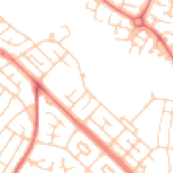
Daytime· 07:00 – 23:00
51.0dB

Night-time· 23:00 – 07:00
39.9dB