16 Max Road, Liverpool, L14 4BH
About 16 Max Road
16 Max Road is a three-bedroom end-of-terrace house in Liverpool (L14 4BH). It has a recorded floor area of 69 m² (around 743 sq ft), construction records dating it to 1930-1949 and council tax band A. The latest certificate (February 2015) shows a D (score 57), a step below the typical UK home. The recommended improvements would lift it to B (score 85), a 2-band jump. The latest certificate is from February 2015, so improvements made since then won't be reflected.
Today's modelled estimate of £131,000 is 40.9% above the 2023 sale price. On a £-per-square-foot basis, the last sale (£125/sq ft) was about 63.3% above the typical sold price in the postcode. Most recent transfer: January 2023 at £93,000.
What this property has
Inside
- Bedrooms3
- Bathrooms1
- Dining roomYes
Outside
- Private gardenYes
- DrivewayYes
Everything you need to know about 16 Max Road
The true value, the hidden risks and the full sale history, in one report.
Pick your report · every report is £14.99
One time fee only - money back guarantee

The data behind every report


Energy performance
Recommended upgrades on file would lift this property by multiple EPC bands.
EPC Expired
This certificate is over 10 years old and is no longer valid.Expired 27 Feb 2025
EPC Rating
Get a survey for this property
Level 3 Building Survey
Because the property has solid (non-cavity) walls, we believe a Level 3 building survey should be considered.
From £820 · Includes VAT
Planning history
16 Max Road has no planning applications on record.
A planning report still maps activity across the surrounding area and reads this property's extension & conversion potential.
Sales history & valuation
16 Max Road valuation sits well clear of the typical sold price in this postcode.
£131,000
Modelled from EPC, postcode comparables.
£93,000
Recorded with HM Land Registry.
Sales timeline
30 January 2023Most recent
£93,000
Median price across the last 5 sales in L14 4BH: £118,000 (2023–2021).
Versus other Max Road homes
16 Max Road is notably below the street on years held.
Price per m²
£1,348
Street avg £1,091
Floor Area
69 m²
Street avg 72 m²
Habitable Rooms
4 rooms
Street avg 5 rooms
CO₂ Emissions
4.0 t/year
Street avg 3.5 t/year
Everything you need to know about 16 Max Road
The true value, the hidden risks and the full sale history, in one report.
Pick your report · every report is £14.99
One time fee only - money back guarantee
The data behind every report
Similar properties nearby
The neighbourhood at a glance
Reported crime in the wider district is trending notably upward year-on-year.
Crime
6/mo
Rising year-on-year across the wider district.
Nearest stop
0.2 km
Princess Drive — bus stop.
Closest school
0.5 km
Blueberry Park. 34 schools nearby.
Go deeper on the local area
A Local Area report breaks down crime, transport links, schools and air quality in depth.
Road noise across the postcode
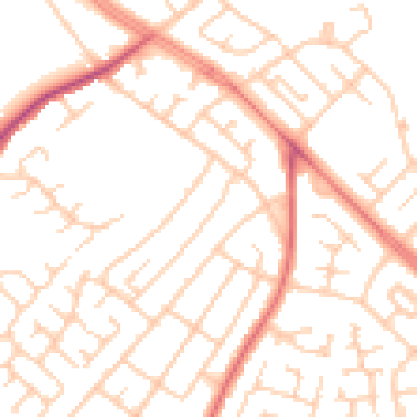
Daytime· 07:00 – 23:00
50.9dB

Night-time· 23:00 – 07:00
39.3dB