1 Staplands Road, Liverpool, L14 3LJ
About 1 Staplands Road
1 Staplands Road is a four-bedroom end-of-terrace house in Liverpool (L14 3LJ). It has a recorded floor area of 121 m² (around 1302 sq ft), construction records dating it to 1930-1949 and council tax band C. The latest certificate (June 2021) shows a D (score 63), on the cusp of jumping into the C band. When first surveyed in November 2013 the rating was E, the property has climbed 1 band since. Between certificates, roof efficiency went from Very Poor to Average and lighting went from Good to Very Good. The recommended improvements would push it to C (score 80). Other recorded features include a self-contained annexe.
At 121 m² the property is well over the postcode median (93 m² across 6 EPCs), placing it in the larger end of the local stock. Today's modelled estimate of £377,000 is 30% above the 2022 sale price. On a £-per-square-foot basis, the last sale (£223/sq ft) was about 35.1% above the typical sold price in the postcode. Last sale on file: £290,000 in January 2022. That sale was during the post-pandemic price surge, when transactions cleared materially above pre-2020 trend.
What this property has
Inside
- Bedrooms4
- Bathrooms2
- Dining roomYes
Outside
- Private gardenRear
- DrivewayYes
Everything you need to know about 1 Staplands Road
The true value, the hidden risks and the full sale history, in one report.
Pick your report · every report is £14.99
One time fee only - money back guarantee

The data behind every report


Energy performance
EPC Rating
Property Improvements
Changes detected from historical EPC data
Heating controls upgraded for better temperature management
Loft insulation upgraded to recommended levels
More low energy lighting installed
Get a survey for this property
Level 2 HomeBuyer Report
We've checked 10 risk factors against the available data for this property and believe a Level 2 HomeBuyer Report could be a suitable option for you.
From £595 · Includes VAT
Planning history
1 Staplands Road has no planning applications on record.
A planning report still maps activity across the surrounding area and reads this property's extension & conversion potential.
Sales history & valuation
Latest sale on 1 Staplands Road was the highest on Land Registry record across the postcode.
£377,000
Modelled from EPC, postcode comparables.
£290,000
Recorded with HM Land Registry.
Sales timeline
10 January 2022Most recent
£290,000
Median price across the last 5 sales in L14 3LJ: £230,000 (2024–2015).
Nearby sales in L14 3LJ
Versus other Staplands Road homes
1 Staplands Road outperforms the street on epc rating by a wide margin.
Price per m²
£2,397
Street avg £1,958
Floor Area
121 m²
Street avg 106 m²
Habitable Rooms
6 rooms
Street avg 5 rooms
CO₂ Emissions
5.2 t/year
Street avg 7.4 t/year
Everything you need to know about 1 Staplands Road
The true value, the hidden risks and the full sale history, in one report.
Pick your report · every report is £14.99
One time fee only - money back guarantee
The data behind every report
Similar properties nearby
The neighbourhood at a glance
Rail-style transport is unusually close for this postcode.
Crime
6/mo
Rising year-on-year across the wider district.
Nearest stop
0.2 km
Lingfield Grove — bus stop.
Closest school
0.6 km
Dixons Broadgreen Academy. 50 schools nearby.
Go deeper on the local area
A Local Area report breaks down crime, transport links, schools and air quality in depth.
Road noise across the postcode
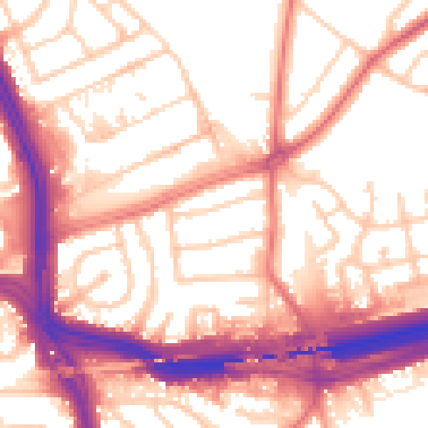
Daytime· 07:00 – 23:00
56.7dB

Night-time· 23:00 – 07:00
47.7dB