5 Prestwood Crescent, Liverpool, L14 2ED
About 5 Prestwood Crescent
5 Prestwood Crescent is a semi-detached house in Liverpool (L14 2ED). It has a recorded floor area of 88 m² (around 942 sq ft), construction records dating it to 1930-1949 and council tax band A. The latest certificate (April 2011) shows a D (score 58), a step below the typical UK home. The latest certificate is from April 2011, so improvements made since then won't be reflected.
Across 1995–2019, sale prices on this property compounded at 2.1% per year. Today's modelled estimate of £136,000 sits 172% above the 2019 sale of £50,000. On a £-per-square-foot basis, the last sale (£53/sq ft) was about 37.1% below the postcode norm. At 88 m² it's 25.9% larger than the typical home in the postcode (70 m² median across 30 EPCs). Last sale on file: £50,000 in November 2019.
Everything you need to know about 5 Prestwood Crescent
The true value, the hidden risks and the full sale history, in one report.
Pick your report · every report is £14.99
One time fee only - money back guarantee

The data behind every report


Energy performance
5 Prestwood Crescent's EPC is over a decade old — improvements since won't be reflected.
EPC Expired
This certificate is over 10 years old and is no longer valid.Expired 12 Apr 2021
EPC Rating
Get a survey for this property
Level 2 HomeBuyer Report
We've checked 10 risk factors against the available data for this property and believe a Level 2 HomeBuyer Report could be a suitable option for you.
From £495 · Includes VAT
Planning history
5 Prestwood Crescent has no planning applications on record.
But the area is active
1 notable application nearby — larger schemes and conversions that could reshape the street. The report maps them all.
Sales history & valuation
5 Prestwood Crescent's modelled value sits at over four times its earliest registered sale price (1995).
£136,000
Modelled from EPC, postcode comparables and a sale-price growth of 2.1% per year over 24 years.
£50,000
Growth on file: 2.1% per year over 24 years.
Sales timeline
28 November 2019Most recent
£50,000
+39.1%over 16 years19 June 2003
£35,950
+19.8%over 7 years29 June 1995
£30,000
Median price across the last 5 sales in L14 2ED: £65,000 (2021–2015).
Nearby sales in L14 2ED
2 Prestwood Crescent, Liverpool, L14 2ED
Sold Mar 2021
£82,00042 Prestwood Crescent, Liverpool, L14 2ED
Sold Nov 2019
£87,00011 Prestwood Crescent, Liverpool, L14 2ED
Sold Aug 2016
£65,00034 Prestwood Crescent, Liverpool, L14 2ED
Sold Jan 2015
£60,00015 Prestwood Crescent, Liverpool, L14 2ED
Sold Feb 2013
£62,500
Versus other Prestwood Crescent homes
On price per m², 5 Prestwood Crescent runs well behind the street norm.
Price per m²
£571
Street avg £969
Floor Area
88 m²
Street avg 71 m²
Habitable Rooms
5 rooms
Street avg 4 rooms
CO₂ Emissions
4.4 t/year
Street avg 2.6 t/year
Everything you need to know about 5 Prestwood Crescent
The true value, the hidden risks and the full sale history, in one report.
Pick your report · every report is £14.99
One time fee only - money back guarantee
The data behind every report
Similar properties nearby
The neighbourhood at a glance
Reported crime in the wider district is trending notably upward year-on-year.
Crime
6/mo
Rising year-on-year across the wider district.
Nearest stop
0.1 km
East Prescot Road — bus stop.
Closest school
0.2 km
Blueberry Park. 41 schools nearby.
Go deeper on the local area
A Local Area report breaks down crime, transport links, schools and air quality in depth.
Road noise across the postcode
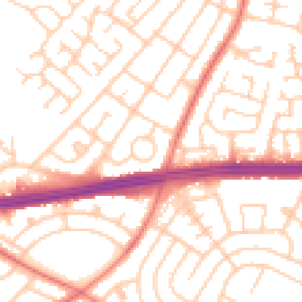
Daytime· 07:00 – 23:00
52.9dB

Night-time· 23:00 – 07:00
41.5dB