52a, East Prescot Road, Liverpool, L14 1PW
About 52a
52a is a semi-detached house in Liverpool (L14 1PW). It has a recorded floor area of 38 m² (around 409 sq ft), construction records dating it to 1950-1966 and council tax band A. At 38 m² this is the 5th smallest of 24 units on EPC record in the building, where floor areas span 32–91 m². The building's EPC ratings span E to C across 24 units on file. The latest certificate (October 2013) shows a D (score 63), on the cusp of jumping into the C band. The latest certificate is from October 2013, so improvements made since then won't be reflected.
At 38 m² it sits well below the postcode median (68 m² across 23 EPCs), making it one of the more compact homes locally.
Everything you need to know about 52a
The true value, the hidden risks and the full sale history, in one report.
Pick your report · every report is £14.99
One time fee only - money back guarantee

The data behind every report


Energy performance
52a's EPC is over a decade old — improvements since won't be reflected.
EPC Expired
This certificate is over 10 years old and is no longer valid.Expired 07 Oct 2023
EPC Rating
Get a survey for this property
Level 3 Building Survey
Because the property has solid (non-cavity) walls, we believe a Level 3 building survey should be considered.
From £820 · Includes VAT
Planning history
52a has no planning applications on record.
A planning report still maps activity across the surrounding area and reads this property's extension & conversion potential.
Sales history & valuation
52a has no Land Registry sales on file, suggesting it has stayed in the same hands since registration began.
£122,000
Modelled from EPC, postcode comparables.
No sales recorded with HM Land Registry
That can mean the property has never traded since the registry began publishing in 1995, was a new build that hasn't been registered yet, or is held in the same hands long-term.
Median price across the last 5 sales in L14 1PW: £79,950 (2025–2019).
Nearby sales in L14 1PW
64 East Prescot Road, Liverpool, L14 1PW
Sold Oct 2025
£99,95054a, East Prescot Road, Liverpool, L14 1PW
Sold Jun 2024
£70,00058 East Prescot Road, Liverpool, L14 1PW
Sold Mar 2021
£80,00062 East Prescot Road, Liverpool, L14 1PW
Sold Feb 2019
£63,00060 East Prescot Road, Liverpool, L14 1PW
Sold Jul 2015
£75,000
Versus other East Prescot Road homes
52a is notably below the street on habitable rooms.
EPC Rating
63 (D)
Street avg 66 (D)
Floor Area
38 m²
Street avg 60 m²
CO₂ Emissions
2.2 t/year
Street avg 2.8 t/year
Habitable Rooms
2 rooms
Street avg 3 rooms
Everything you need to know about 52a
The true value, the hidden risks and the full sale history, in one report.
Pick your report · every report is £14.99
One time fee only - money back guarantee
The data behind every report
Similar properties nearby
The neighbourhood at a glance
Reported crime in the wider district is trending notably upward year-on-year.
Crime
6/mo
Rising year-on-year across the wider district.
Nearest stop
0.1 km
Queens Drive — bus stop.
Closest school
0.5 km
Dixons Broadgreen Academy. 49 schools nearby.
Go deeper on the local area
A Local Area report breaks down crime, transport links, schools and air quality in depth.
Road noise across the postcode
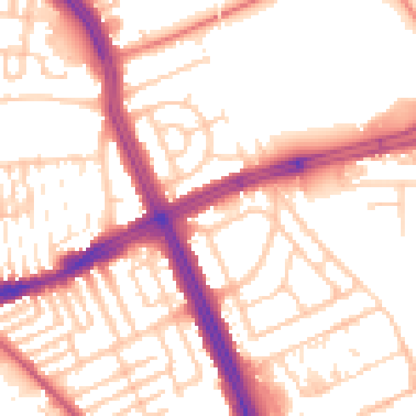
Daytime· 07:00 – 23:00
54.4dB

Night-time· 23:00 – 07:00
44.5dB