36 Shellingford Road, Liverpool, L14 0PD
About 36 Shellingford Road
36 Shellingford Road is an end-of-terrace house in Liverpool (L14 0PD). It has a recorded floor area of 61 m² (around 657 sq ft), construction records dating it to 1930-1949 and council tax band A. The latest certificate (July 2019) shows a D (score 63), on the cusp of jumping into the C band. The recommended improvements would lift it to B (score 83), a 2-band jump.
Today's modelled estimate of £126,000 is 20% above the 2023 sale price. On a £-per-square-foot basis, the last sale (£160/sq ft) was about 77.7% above the typical sold price in the postcode. At 61 m² it's 19.7% smaller than the typical home in the postcode (76 m² median across 32 EPCs). Sold April 2023 for £105,000.
Everything you need to know about 36 Shellingford Road
The true value, the hidden risks and the full sale history, in one report.
Pick your report · every report is £14.99
One time fee only - money back guarantee

The data behind every report


Energy performance
Recommended upgrades on file would lift this property by multiple EPC bands.
EPC Rating
Get a survey for this property
Level 2 HomeBuyer Report
We've checked 10 risk factors against the available data for this property and believe a Level 2 HomeBuyer Report could be a suitable option for you.
From £495 · Includes VAT
Planning history
36 Shellingford Road has no planning applications on record.
A planning report still maps activity across the surrounding area and reads this property's extension & conversion potential.
Sales history & valuation
36 Shellingford Road valuation sits well clear of the typical sold price in this postcode.
£126,000
Modelled from EPC, postcode comparables.
£105,000
Recorded with HM Land Registry.
Sales timeline
5 April 2023Most recent
£105,000
Median price across the last 5 sales in L14 0PD: £123,000 (2025–2023).
Nearby sales in L14 0PD
21 Shellingford Road, Liverpool, L14 0PD
Sold Jun 2025
£125,0003 Shellingford Road, Liverpool, L14 0PD
Sold Dec 2024
£123,0009 Shellingford Road, Liverpool, L14 0PD
Sold Dec 2023
£112,00030 Shellingford Road, Liverpool, L14 0PD
Sold Oct 2023
£160,00048 Shellingford Road, Liverpool, L14 0PD
Sold Oct 2023
£1,000
Versus other Shellingford Road homes
36 Shellingford Road is notably below the street on floor area.
Price per m²
£1,721
Street avg £1,097
Floor Area
61 m²
Street avg 76 m²
Habitable Rooms
4 rooms
Street avg 5 rooms
CO₂ Emissions
3.1 t/year
Street avg 3.0 t/year
Everything you need to know about 36 Shellingford Road
The true value, the hidden risks and the full sale history, in one report.
Pick your report · every report is £14.99
One time fee only - money back guarantee
The data behind every report
Similar properties nearby
The neighbourhood at a glance
Reported crime in the wider district is trending notably upward year-on-year.
Crime
6/mo
Rising year-on-year across the wider district.
Nearest stop
0.1 km
Ashover Avenue — bus stop.
Closest school
0.4 km
Dovecot Primary School. 38 schools nearby.
Go deeper on the local area
A Local Area report breaks down crime, transport links, schools and air quality in depth.
Road noise across the postcode
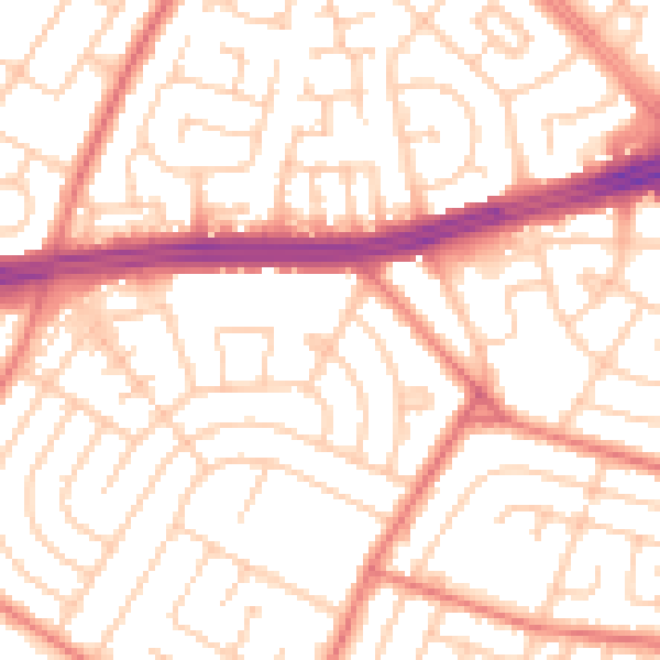
Daytime· 07:00 – 23:00
53.5dB

Night-time· 23:00 – 07:00
41.7dB