21 Aldwark Road, Liverpool, L14 0NE
About 21 Aldwark Road
21 Aldwark Road is a two-bedroom mid-terrace house in Liverpool (L14 0NE). It has a recorded floor area of 71 m² (around 764 sq ft), construction records dating it to 1930-1949 and council tax band A. The latest certificate (January 2014) shows a D (score 64), on the cusp of jumping into the C band. The recommended improvements would lift it to B (score 86), a 2-band jump. The latest certificate is from January 2014, so improvements made since then won't be reflected.
Across 2003–2021, sale prices on this property compounded at 8.3% per year. Today's modelled estimate of £134,000 is 48.9% above the 2021 sale price. On a £-per-square-foot basis, the last sale (£118/sq ft) was about 45.1% above the typical sold price in the postcode. Sold April 2021 for £90,000. That sale was during the post-pandemic price surge, when transactions cleared materially above pre-2020 trend.
What this property has
Inside
- Bedrooms2
- Bathrooms1
Outside
- Private gardenFront
- ParkingOff road
Building
- Central heatingYes
- RefurbishedYes
Everything you need to know about 21 Aldwark Road
The true value, the hidden risks and the full sale history, in one report.
Pick your report · every report is £14.99
One time fee only - money back guarantee

The data behind every report


Energy performance
Recommended upgrades on file would lift this property by multiple EPC bands.
EPC Expired
This certificate is over 10 years old and is no longer valid.Expired 21 Jan 2024
EPC Rating
Get a survey for this property
Level 2 HomeBuyer Report
We've checked 10 risk factors against the available data for this property and believe a Level 2 HomeBuyer Report could be a suitable option for you.
From £495 · Includes VAT
Planning history
21 Aldwark Road has no planning applications on record.
A planning report still maps activity across the surrounding area and reads this property's extension & conversion potential.
Sales history & valuation
21 Aldwark Road has more than quadrupled in price since its earliest registered sale in 2003.
£134,000
Modelled from EPC, postcode comparables and a sale-price growth of 8.3% per year over 18 years.
£90,000
Growth on file: 8.3% per year over 18 years.
Sales timeline
21 April 2021Most recent
£90,000
+318.6%over 17 years22 May 2003
£21,500
Median price across the last 5 sales in L14 0NE: £72,500 (2023–2017).
Versus other Aldwark Road homes
On habitable rooms, 21 Aldwark Road runs well behind the street norm.
Price per m²
£1,268
Street avg £1,067
Floor Area
71 m²
Street avg 75 m²
Habitable Rooms
3 rooms
Street avg 5 rooms
CO₂ Emissions
3.2 t/year
Street avg 2.8 t/year
Everything you need to know about 21 Aldwark Road
The true value, the hidden risks and the full sale history, in one report.
Pick your report · every report is £14.99
One time fee only - money back guarantee
The data behind every report
Similar properties nearby
1 Shellingford Road
L14 0PD
1 Woodhurst Crescent
L14 0BA
1 Trent Avenue, Bowring Park
L14 0JU
1 Grant Road
L14 0LE
1 Mossgate Road
L14 0JN
1 Moss Side, Knotty Ash
L14 0JS
1 Mossgate Grove
L14 0JT
1 Aldwark Road
L14 0NE
The neighbourhood at a glance
Reported crime in the wider district is trending notably upward year-on-year.
Crime
6/mo
Rising year-on-year across the wider district.
Nearest stop
0.3 km
Taurus Road — bus stop.
Closest school
0.3 km
Dovecot Primary School. 41 schools nearby.
Go deeper on the local area
A Local Area report breaks down crime, transport links, schools and air quality in depth.
Road noise across the postcode
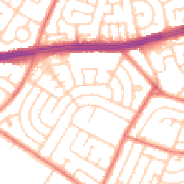
Daytime· 07:00 – 23:00
53.0dB

Night-time· 23:00 – 07:00
41.6dB