3 Adcote Road, Liverpool, L14 0LL
About 3 Adcote Road
3 Adcote Road is a three-bedroom end-of-terrace house in Liverpool (L14 0LL). It has a recorded floor area of 67 m² (around 721 sq ft), construction records dating it to 1967-1975 and council tax band A. The latest certificate (October 2019) shows a C (score 70). The rating has held steady at C across 3 certificates since February 2009. Between certificates, wall efficiency dropped from Good to Average and hot-water efficiency dropped from Very Good to Good. The recommended improvements would push it to B (score 85).
It hasn't traded since July 2009, a hold of 17 years that's notably long for the area. That sale fell during the post-crash dip, which often skews comparisons against later neighbouring sales. Today's modelled estimate of £135,000 sits 57% above the 2009 sale of £86,000. On a £-per-square-foot basis, the last sale (£119/sq ft) was about 23.5% above the typical sold price in the postcode.
What this property has
Inside
- Bedrooms3
Outside
- ParkingOff street
Building
- Central heatingYes
Everything you need to know about 3 Adcote Road
The true value, the hidden risks and the full sale history, in one report.
Pick your report · every report is £14.99
One time fee only - money back guarantee

The data behind every report


Energy performance
EPC Rating
Property Improvements
Changes detected from historical EPC data
Low energy lighting percentage decreased
Mechanical ventilation installed
Hot water efficiency decreased
Windows upgraded, improving insulation
More low energy lighting installed
Ventilation system changed
Get a survey for this property
Level 2 HomeBuyer Report
We've checked 10 risk factors against the available data for this property and believe a Level 2 HomeBuyer Report could be a suitable option for you.
From £495 · Includes VAT
Planning history
3 Adcote Road has no planning applications on record.
A planning report still maps activity across the surrounding area and reads this property's extension & conversion potential.
Sales history & valuation
The latest sale fell during the post-2008 dip, often a low-water mark in price comparisons.
£135,000
Modelled from EPC, postcode comparables.
£86,000
Recorded with HM Land Registry.
Sales timeline
2 July 2009Most recent
£86,000
Median price across the last 5 sales in L14 0LL: £84,950 (2023–2006).
Versus other Adcote Road homes
On years held, 3 Adcote Road stands well clear of the street.
Price per m²
£1,284
Street avg £1,503
Floor Area
67 m²
Street avg 75 m²
Habitable Rooms
4 rooms
Street avg 5 rooms
CO₂ Emissions
2.5 t/year
Street avg 3.9 t/year
Everything you need to know about 3 Adcote Road
The true value, the hidden risks and the full sale history, in one report.
Pick your report · every report is £14.99
One time fee only - money back guarantee
The data behind every report
Similar properties nearby
1 Woodhurst Crescent
L14 0BA
1 Trent Avenue, Bowring Park
L14 0JU
1 Grant Road
L14 0LE
1 Mossgate Road
L14 0JN
1 Moss Side, Knotty Ash
L14 0JS
1 Mossgate Grove
L14 0JT
1 Shellingford Road
L14 0PD
1 Aldwark Road
L14 0NE
The neighbourhood at a glance
Reported crime in the wider district is trending notably upward year-on-year.
Crime
6/mo
Rising year-on-year across the wider district.
Nearest stop
0.1 km
Adcote Road — bus stop.
Closest school
0.1 km
St Margaret Mary's Catholic Infant School. 44 schools nearby.
Go deeper on the local area
A Local Area report breaks down crime, transport links, schools and air quality in depth.
Road noise across the postcode
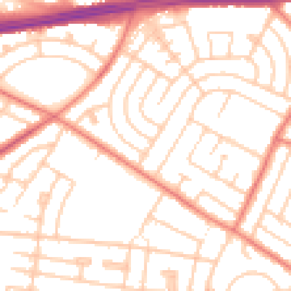
Daytime· 07:00 – 23:00
52.3dB

Night-time· 23:00 – 07:00
41.3dB