Apartment 12, 32 Tabley Street, Liverpool, L1 8DW
About Apartment 12
Apartment 12 is a two-bedroom detached house in Liverpool (L1 8DW). It has a recorded floor area of 54 m² (around 576 sq ft) and council tax band C. The latest certificate (June 2010) returns a high B (score 85), putting the home a stone's throw from an A rating. The rating has held steady at B across 2 certificates since June 2010. The latest certificate is from June 2010, so improvements made since then won't be reflected. At 54 m² this is the 41st smallest of 87 units on EPC record in the building, where floor areas span 31–72 m². The building's EPC ratings span D to B, with this unit at the top. On EPC score it ranks first in the building (85 versus a worst of 67). Other recorded features include a balcony. The home occupies a corner plot.
Untraded for 16 years, with the last transfer in October 2010. On energy efficiency it sits in the top 10% of properties in this postcode. On a £-per-square-foot basis, the last sale (£335/sq ft) was about 52.8% above the typical sold price in the postcode.
Know exactly what you're buying at Apartment 12
Before you offer, see what the listing won't tell you, the true value, the red flags and the full history.
Valuation
against the asking price
Risks
planning & flood
Sold prices
similar homes nearby
Trends
the local market
What this property has
Inside
- Bedrooms2
Outside
- ParkingAllocated
- BalconyYes
- Corner plotYes
Building
- ConciergeYes
- RefurbishedYes
Energy performance
Apartment 12 ranks among the most efficient homes in the postcode for energy use.
EPC Expired
This certificate is over 10 years old and is no longer valid.Expired 13 Jun 2020
EPC Rating
Planning history
Apartment 12 has no planning applications on record.
The full report still covers planning activity across the surrounding area.
Sales history & valuation
Apartment 12 valuation sits well clear of the typical sold price in this postcode.
£197,000
Modelled from EPC, postcode comparables.
£193,000
Recorded with HM Land Registry.
Sales timeline
12 October 2010Most recent
£193,000
Median price across the last 5 sales in L1 8DW: £90,000 (2023–2018).
Nearby sales in L1 8DW
Apartment 57, 32 Tabley Street, Liverpool, L1 8DW
Sold Oct 2023
£85,000Apartment 58, 32 Tabley Street, Liverpool, L1 8DW
Sold Nov 2019
£145,000Apartment 67, 32 Tabley Street, Liverpool, L1 8DW
Sold Oct 2019
£123,000Apartment 71, 32 Tabley Street, Liverpool, L1 8DW
Sold Mar 2019
£90,000Apartment 88, 32 Tabley Street, Liverpool, L1 8DW
Sold Mar 2018
£85,000
Everything we know about Apartment 12, in one report
What it's really worth, what could be wrong, and the planning, sales and area data in full.
- Am I paying too much?
- Is something wrong with it?
- Is the agent's story true?
- Will it hold its value?

Versus other Tabley Street homes
EPC Rating for Apartment 12 runs comfortably ahead of the street norm.
Price per m²
£3,605
Street avg £2,493
Floor Area
54 m²
Street avg 49 m²
CO₂ Emissions
1.1 t/year
Street avg 1.5 t/year
Years Held
16 years
Street avg 12 years
Similar properties nearby
Apartment 10, 2 Hurst Street
L1 8DN
Apartment 1, 24 Cornhill
L1 8DS
Apartment 1001, 37 Strand Street
L1 8ND
Apartment 10, 33 Cornhill
L1 8DP
Apartment 100, 32 Tabley Street
L1 8DX
Apartment 1, 34 Shaws Alley
L1 8DG
Apartment 1, 2 Hurst Street
L1 8DN
Apartment 1, 26 Cornhill
L1 8DT
The neighbourhood at a glance
Reported crime in the wider district is trending notably upward year-on-year.
Crime
15/mo
Rising year-on-year across the wider district.
Nearest stop
0.1 km
Gower Street — bus stop.
Closest school
0.3 km
St Vincent de Paul Catholic Primary School. 33 schools nearby.
Go deeper on the local area
The full report breaks down crime, transport links, schools and air quality in depth.
Road noise across the postcode
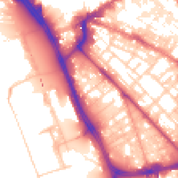
Daytime· 07:00 – 23:00
57.4dB

Night-time· 23:00 – 07:00
48.2dB