Apartment 92, 49 Hurst Street, Liverpool, L1 8AL
About Apartment 92
Apartment 92 is a detached house in Liverpool (L1 8AL). It has a recorded floor area of 70 m² (around 753 sq ft). The latest certificate (September 2020) returns a B (score 82), comfortably above the UK average. At 70 m² this is the 26th smallest of 40 units on EPC record in the building, where floor areas span 51–77 m². On EPC score it ranks last in the building (82 versus a best of 85).
Today's modelled estimate of £195,000 is 18.2% above the 2024 sale price. Last sale on file: £164,950 in January 2024.
Know exactly what you're buying at Apartment 92
Before you offer, see what the listing won't tell you, the true value, the red flags and the full history.
Valuation
against the asking price
Risks
planning & flood
Sold prices
similar homes nearby
Trends
the local market
Energy performance
Apartment 92's carbon output is low for the local stock.
EPC Rating
Planning history
Apartment 92 has no planning applications on record.
The full report still covers planning activity across the surrounding area.
Sales history & valuation
£195,000
Modelled from EPC, postcode comparables.
£164,950
Recorded with HM Land Registry.
Sales timeline
18 January 2024Most recent
£164,950
Median price across the last 5 sales in L1 8AL: £180,000 (2025–2024).
Nearby sales in L1 8AL
Apartment 131, 49 Hurst Street, Liverpool, L1 8AL
Sold Mar 2025
£145,000Apartment 104, 49 Hurst Street, Liverpool, L1 8AL
Sold Jan 2025
£196,000Apartment 103, 49 Hurst Street, Liverpool, L1 8AL
Sold Oct 2024
£200,000Apartment 112, 49 Hurst Street, Liverpool, L1 8AL
Sold Feb 2024
£180,000Apartment 86, 49 Hurst Street, Liverpool, L1 8AL
Sold Jan 2024
£119,900
Everything we know about Apartment 92, in one report
What it's really worth, what could be wrong, and the planning, sales and area data in full.
- Am I paying too much?
- Is something wrong with it?
- Is the agent's story true?
- Will it hold its value?

Versus other Hurst Street homes
On co₂ emissions, Apartment 92 runs well behind the street norm.
Price per m²
£2,356
Street avg £2,415
Floor Area
70 m²
Street avg 64 m²
CO₂ Emissions
1.1 t/year
Street avg 0.9 t/year
Years Held
2 years
Street avg 4 years
Similar properties nearby
Apartment 10, 2 Hurst Street
L1 8DN
Apartment 10, 49 Hurst Street
L1 8AJ
Apartment 1, 49 Hurst Street
L1 8AJ
Apartment 1, 24 Cornhill
L1 8DS
Apartment 100, 49 Hurst Street
L1 8AL
Apartment 10, 33 Cornhill
L1 8DP
Apartment 1001, 37 Strand Street
L1 8ND
Apartment 1, 31 Cornhill
L1 8DL
The neighbourhood at a glance
Reported crime in the wider district is trending notably upward year-on-year.
Crime
15/mo
Rising year-on-year across the wider district.
Nearest stop
0.1 km
Gower Street — bus stop.
Closest school
0.3 km
St Vincent de Paul Catholic Primary School. 33 schools nearby.
Go deeper on the local area
The full report breaks down crime, transport links, schools and air quality in depth.
Road noise across the postcode
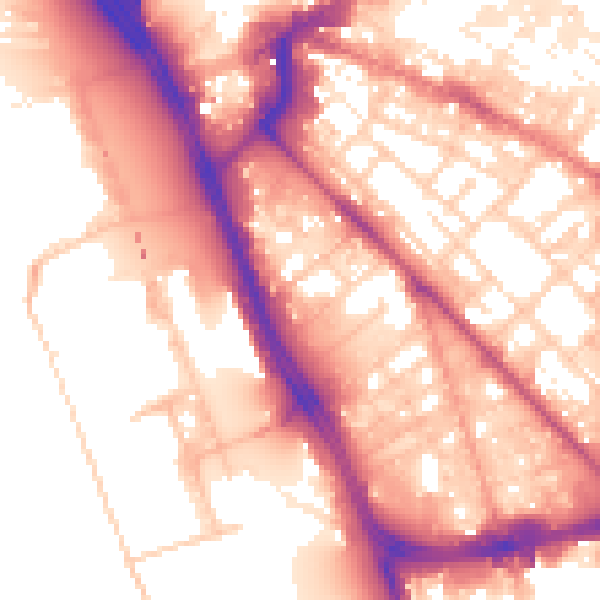
Daytime· 07:00 – 23:00
57.2dB

Night-time· 23:00 – 07:00
48.1dB