48b, Nelson Street, Liverpool, L1 5DN
About 48b
48b is a two-bedroom mid-terrace house in Liverpool (L1 5DN). It has a recorded floor area of 67 m² (around 721 sq ft), construction records dating it to before 1900 and council tax band B. At 67 m² this is the 27th smallest of 35 units on EPC record in the building, where floor areas span 37–231 m². The building's EPC ratings span G to B across 35 units on file. The latest certificate (July 2019) shows a C (score 71). Main heating runs on electricity.
Untraded for 23 years, with the last transfer in March 2003. Today's modelled estimate of £159,000 sits 98.8% above the 2003 sale of £80,000. One historical planning record sits against the property in 2009.
Know exactly what you're buying at 48b
Before you offer, see what the listing won't tell you, the true value, the red flags and the full history.
Already flagged here
Valuation
against the asking price
Risks
planning & flood
Sold prices
similar homes nearby
Trends
the local market
What this property has
Inside
- Bedrooms2
- Bathrooms2
Energy performance
EPC Rating
Planning history
- Jan 2009RenovationFullIn report
To erect railings within private courtyard
- Documents
- 14 docs on file
- Reference
- 08F/3099
We flagged 1 thing worth checking at 48b
Independent checks surfaced things a buyer would want to understand before offering. The report explains each one in full, with the underlying data and what to ask.
- Larger development activity nearby
30-day money-back guarantee
Sales history & valuation
£159,000
Modelled from EPC, postcode comparables.
£80,000
Recorded with HM Land Registry.
Sales timeline
4 March 2003Most recent
£80,000
Median price across the last 2 sales in L1 5DN: £305,000 (2023–2016).
Everything we know about 48b, in one report
What it's really worth, what could be wrong, and the planning, sales and area data in full.
What we flagged
- Larger development activity nearby

Versus other Nelson Street homes
48b is notably below the street on co₂ emissions.
EPC Rating
71 (C)
Street avg 74 (C)
Floor Area
67 m²
Street avg 63 m²
CO₂ Emissions
3.5 t/year
Street avg 2.9 t/year
Habitable Rooms
3 rooms
Street avg 3 rooms
Similar properties nearby
The neighbourhood at a glance
Reported crime in the wider district is trending notably upward year-on-year.
Crime
15/mo
Rising year-on-year across the wider district.
Nearest stop
0.1 km
Sankey Street — bus stop.
Closest school
0.2 km
LIPA School. 40 schools nearby.
Go deeper on the local area
The full report breaks down crime, transport links, schools and air quality in depth.
Road noise across the postcode
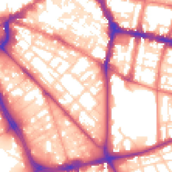
Daytime· 07:00 – 23:00
58.1dB

Night-time· 23:00 – 07:00
48.1dB