Are you a property professional?Get qualified leads from motivated homeowners.
Get started79 Hollies Avenue, West Byfleet, KT14 6AN
3 sales on record
About 79 Hollies Avenue
A plain-English summary derived from public records, EPC certificates, sold prices and local data.
79 Hollies Avenue is a four-bedroom detached house in West Byfleet (KT14 6AN). It has a recorded floor area of 132 m² (around 1421 sq ft), construction records dating it to 1900-1929 and council tax band E. The latest certificate (March 2017) shows an E (score 48), well below the UK norm with real room to improve. The recommended improvements would lift it to C (score 78), a 2-band jump.
Sale prices here have outpaced England HPI: 7.7% per year against 0% for the wider region. Today's modelled estimate of £740,000 is 14.6% above the 2018 sale price. On a £-per-square-foot basis, the last sale (£455/sq ft) was about 28.7% above the typical sold price in the postcode. 2 planning records sit against the property, 2 approved, 0 refused. Past consents include an extension and a loft conversion, meaningful when judging how the property has evolved. Last changed hands 8 years ago, in January 2018.
What this property has
Pulled from EPC certificates, claim submissions and our property model. Empty categories are hidden — we only show what's known.
Inside
- Bedrooms4
- Bathrooms1
Outside
- Private gardenYes
- Garage
Energy performance
Every EPC certificate filed against this property — current rating, recorded improvements, and where there's headroom to reach a higher band.
79 Hollies Avenue's carbon output runs well above what efficient homes in the postcode produce.
EPC Rating
A
B
C
D
E
E48
F
G
Main Heating
Gas
Main Fuel
Gas
Hot Water
Average
Windows
Average
CO2 Emissions
6.2 t/year
Occupancy
Owner Occupied
Planning history
Applications and permits filed against 79 Hollies Avenue, West Byfleet, KT14 6AN, sourced from the PlanIt planning register.
- May 2019ExtensionFullGranted
Extension: Single storey · Rear of property
Erection of a single storey rear extension following the demolition of the existing detached garage and the enlargement of an existing side facing first floor dormer window.
Sales history & valuation
Recorded transactions, our model's current estimate, and a quick read on what neighbouring properties have sold for.
Price for 79 Hollies Avenue has grown more than fourfold since the 1996 starting point.
Current estimate
See how we calculated this£740,000
Modelled from EPC, postcode comparables and a sale-price growth of 7.7% per year over 21 years.
Last sold (2018)
£646,000
Growth on file: 7.7% per year over 21 years.
Sales timeline
Versus other Hollies Avenue homes
Four headline reads against 22 similar houses on this street, drawn from the latest EPC and Land Registry data.
79 Hollies Avenue is notably below the street on epc rating.
Price per m²
£4,894
Street avg £4,753
Floor Area
132 m²
Street avg 124 m²
Habitable Rooms
6 rooms
Street avg 6 rooms
Similar properties nearby
A handful of close matches in the same postcode area, ranked by likeness on bedrooms, type and floor area.
The neighbourhood at a glance
A condensed read of the local area. Each tile links through to the full breakdown on the West Byfleet district page.
Rail-style transport is unusually close for this postcode.
Crime
3/mo
Steady year-on-year across the wider district.
Nearest stop
0.2 km
Regency Drive — bus stop.
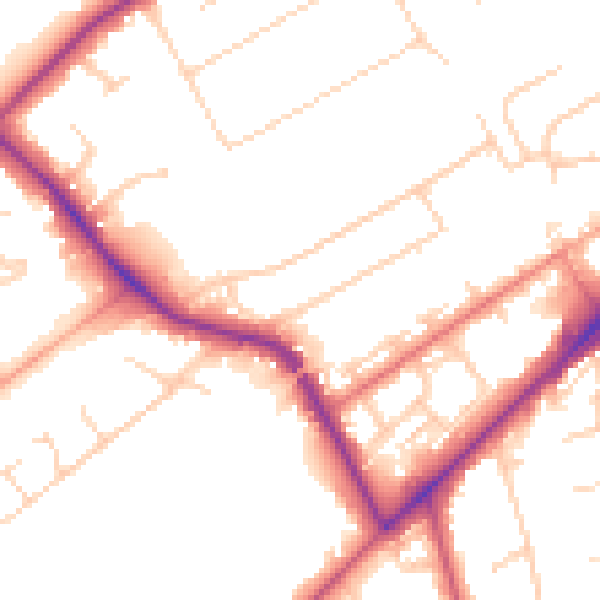
Road noise across the postcode
Modelled day and night-time noise levels around KT14 6AN from Defra's strategic mapping. The pin marks this postcode's centroid.
Daytime· 07:00 – 23:00
51.4dB

Everything within walking distance
Schools, transport stops and scenic spots near this property — 44 points of interest in total.
Beautiful places to visit nearby
Curated scenic spots within reach of this postcode, served by Beautifulplaces.ai. Photography and tagging come from their open dataset.
Common questions
The questions buyers, sellers and homeowners most often ask about 79 Hollies Avenue, West Byfleet, KT14 6AN. Each answer is also embedded as structured data for search engines.