23 Chatsworth Drive, Rushmere St Andrew, Ipswich, IP4 5XA
About 23 Chatsworth Drive
23 Chatsworth Drive is a three-bedroom semi-detached house in Rushmere St. Andrew, Ipswich, Ipswich (IP4 5XA). It has a recorded floor area of 97 m² (around 1044 sq ft), construction records dating it to 1967-1975 and council tax band C. Tenure is freehold. Other recorded features include a conservatory and outbuildings. The home occupies a cul-de-sac position. The latest certificate (June 2024) shows a C (score 70). The recommended improvements would push it to B (score 85).
A recent sale: £310,000 in December 2024. On a £-per-square-foot basis, the last sale (£297/sq ft) was about 51.9% above the typical sold price in the postcode.
What this property has
Inside
- Bedrooms3
- Bathrooms2
- CloakroomYes
- EnsuiteYes
- ConservatoryYes
Outside
- Private gardenWest-facing
- GarageIntegral
- OutbuildingsYes
- Cul-de-sacYes
Building
- TenureFreehold
- Heating systemGas
- RefurbishedYes
Everything you need to know about 23 Chatsworth Drive
The true value, the hidden risks and the full sale history, in one report.
Pick your report · every report is £14.99
One time fee only - money back guarantee

The data behind every report


Energy performance
EPC Rating
Get a survey for this property
Level 3 Building Survey
Because the property has been extended more than once and has permanent outbuildings, we believe a Level 3 building survey should be considered.
From £955 · Includes VAT
Planning history
23 Chatsworth Drive has no planning applications on record.
But the area is active
1 notable application nearby — larger schemes and conversions that could reshape the street. The report maps them all.
Sales history & valuation
23 Chatsworth Drive valuation sits well clear of the typical sold price in this postcode.
£324,000
Modelled from EPC, postcode comparables.
£310,000
Recorded with HM Land Registry.
Sales timeline
12 December 2024Most recent
£310,000
Median price across the last 5 sales in IP4 5XA: £290,000 (2025–2020).
Nearby sales in IP4 5XA
24 Chatsworth Drive, Rushmere St Andrew, Ipswich, IP4 5XA
Sold Aug 2025
£367,50019 Chatsworth Drive, Rushmere St Andrew, Ipswich, IP4 5XA
Sold Dec 2023
£300,00018 Chatsworth Drive, Rushmere St Andrew, Ipswich, IP4 5XA
Sold Aug 2021
£290,00065 Chatsworth Drive, Rushmere St Andrew, Ipswich, IP4 5XA
Sold Mar 2021
£275,0009 Chatsworth Drive, Rushmere St Andrew, Ipswich, IP4 5XA
Sold Aug 2020
£290,000
Versus other Chatsworth Drive homes
Years Held for 23 Chatsworth Drive lags the street by a wide margin.
Price per m²
£3,196
Street avg £2,594
Floor Area
97 m²
Street avg 95 m²
Habitable Rooms
4 rooms
Street avg 5 rooms
CO₂ Emissions
3.4 t/year
Street avg 3.8 t/year
Everything you need to know about 23 Chatsworth Drive
The true value, the hidden risks and the full sale history, in one report.
Pick your report · every report is £14.99
One time fee only - money back guarantee
The data behind every report
Similar properties nearby
1 3, Heath Road
IP4 5RZ
1 Cornwallis Terrace
IP4 5JY
1 Chartwell Close
IP4 5DU
1 Clementine Gardens
IP4 5GA
1 Butterfly Gardens, Rushmere St Andrew
IP4 5TF
1 Coronation Road
IP4 5EN
1 Adelaide Road
IP4 5PR
1 Brook Hill Cottage, Foxhall Road
IP4 5TL
The neighbourhood at a glance
Reported crime in the wider district is trending notably upward year-on-year.
Crime
9/mo
Rising year-on-year across the wider district.
Nearest stop
0.2 km
Golf Hotel — bus stop.
Closest school
0.2 km
Broke Hall Community Primary School. 18 schools nearby.
Go deeper on the local area
A Local Area report breaks down crime, transport links, schools and air quality in depth.
Road noise across the postcode
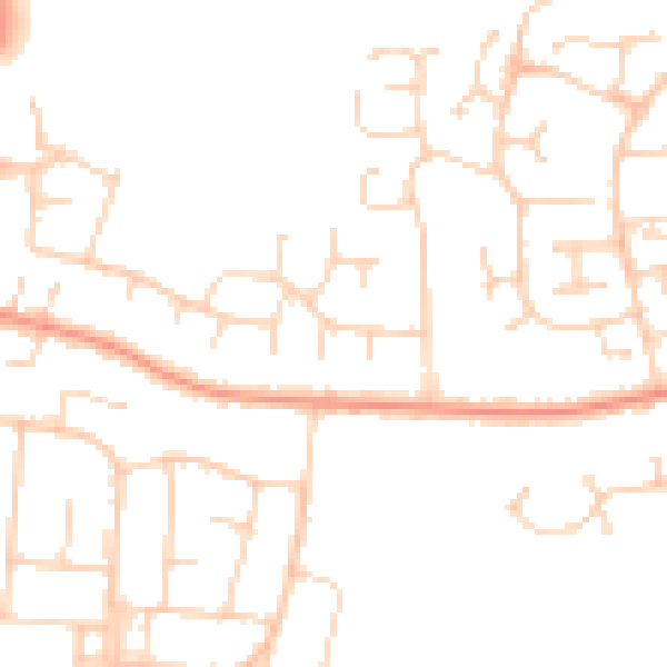
Daytime· 07:00 – 23:00
47.4dB

Night-time· 23:00 – 07:00
37.2dB