2 Lanark Road, Ipswich, IP4 3EH
About 2 Lanark Road
2 Lanark Road is a two-bedroom detached house in Ipswich (IP4 3EH). It has a recorded floor area of 60 m² (around 646 sq ft), construction records dating it to 1930-1949 and council tax band A. The latest certificate (March 2014) shows an E (score 50), well below the UK norm with real room to improve. The recommended improvements would lift it to C (score 79), a 2-band jump. The latest certificate is from March 2014, so improvements made since then won't be reflected. Other recorded features include a conservatory.
Today's modelled estimate of £256,000 sits 62.5% above the 2014 sale of £157,500. At 60 m² it's 29% smaller than the typical home in the postcode (85 m² median across 14 EPCs). It lags the bulk of the postcode on energy efficiency (less efficient than 86% of similar EPCs). On the market in August 2014 and unlisted since — roughly 12 years.
What this property has
Inside
- Bedrooms2
- ConservatoryYes
Outside
- Private gardenRear
- GarageYes
Everything you need to know about 2 Lanark Road
The true value, the hidden risks and the full sale history, in one report.
Pick your report · every report is £14.99
One time fee only - money back guarantee

The data behind every report


Energy performance
Recommended upgrades on file would lift this property by multiple EPC bands.
EPC Expired
This certificate is over 10 years old and is no longer valid.Expired 18 Mar 2024
EPC Rating
Get a survey for this property
Level 2 HomeBuyer Report
We've checked 10 risk factors against the available data for this property and believe a Level 2 HomeBuyer Report could be a suitable option for you.
From £545 · Includes VAT
Planning history
2 Lanark Road has no planning applications on record.
But the area is active
2 notable applications nearby — larger schemes and conversions that could reshape the street. The report maps them all.
Sales history & valuation
£256,000
Modelled from EPC, postcode comparables.
£157,500
Recorded with HM Land Registry.
Sales timeline
10 August 2014Most recent
£157,500
Median price across the last 5 sales in IP4 3EH: £259,000 (2023–2004).
Versus other Lanark Road homes
Price per m² for 2 Lanark Road lags the street by a wide margin.
Price per m²
£2,625
Street avg £3,136
Floor Area
60 m²
Street avg 81 m²
Habitable Rooms
4 rooms
Street avg 5 rooms
CO₂ Emissions
4.2 t/year
Street avg 3.5 t/year
Everything you need to know about 2 Lanark Road
The true value, the hidden risks and the full sale history, in one report.
Pick your report · every report is £14.99
One time fee only - money back guarantee
The data behind every report
Similar properties nearby
1 Aberfoyle Close
IP4 3PN
1 Halfway Cottages, Tuddenham Road
IP4 3QH
1 Colchester Road
IP4 3BT
1 Dumfries Road
IP4 3JL
1 Glencoe Road
IP4 3PS
1 Caithness Close
IP4 3ES
1 Cromarty Road
IP4 3EU
1 Dorset Close
IP4 3BJ
The neighbourhood at a glance
Reported crime in the wider district is trending notably upward year-on-year.
Crime
9/mo
Rising year-on-year across the wider district.
Nearest stop
0.1 km
Fairlight Close — bus stop.
Closest school
0.2 km
Rushmere Hall Primary School. 15 schools nearby.
Go deeper on the local area
A Local Area report breaks down crime, transport links, schools and air quality in depth.
Road noise across the postcode
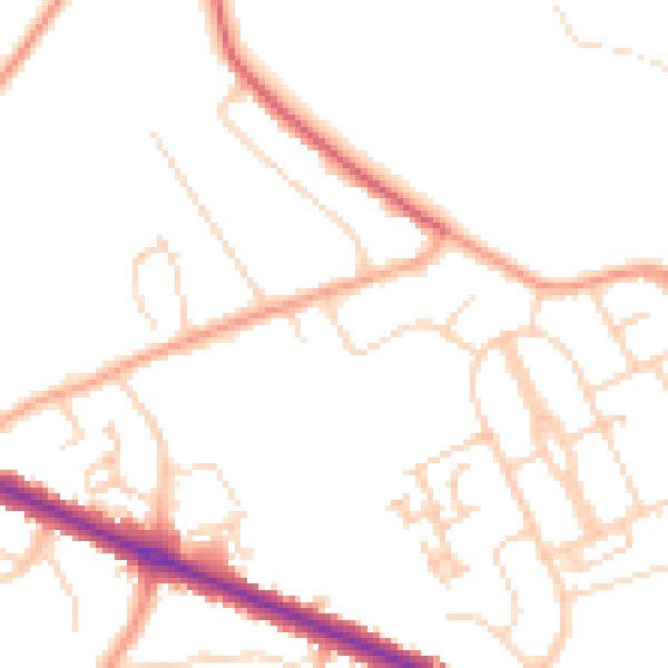
Daytime· 07:00 – 23:00
48.6dB

Night-time· 23:00 – 07:00
38.9dB