13 Barfields Path, Loughton, IG10 3JJ
About 13 Barfields Path
13 Barfields Path is a three-bedroom semi-detached house in Loughton (IG10 3JJ). It has a recorded floor area of 82 m² (around 883 sq ft), construction records dating it to 1967-1975 and council tax band C. The latest certificate (October 2019) returns a high B (score 91), putting the home a stone's throw from an A rating. When first surveyed in November 2009 the rating was D, the property has climbed 2 bands since. Between certificates, wall efficiency went from Very Poor to Good, roof efficiency went from Good to Very Good and lighting went from Good to Very Good. The recommended improvements would push it to A (score 98).
Untraded for 16 years, with the last transfer in February 2010. On energy efficiency it sits in the top 10% of properties in this postcode. Today's modelled estimate of £455,000 sits 102.2% above the 2010 sale of £225,000. On a £-per-square-foot basis, the last sale (£255/sq ft) was about 35.1% below the postcode norm. 3 planning records sit against the property, 3 approved, 0 refused. Past consents include partial demolition, meaningful when judging how the property has evolved.
Know exactly what you're buying at 13 Barfields Path
Before you offer, see what the listing won't tell you, the true value, the red flags and the full history.
Already flagged here
Valuation
against the asking price
Risks
planning & flood
Sold prices
similar homes nearby
Trends
the local market
What this property has
Inside
- Bedrooms3
Energy performance
13 Barfields Path ranks among the most efficient homes in the postcode for energy use.
EPC Rating
Property Improvements
Changes detected from historical EPC data
Wall insulation improved
Loft insulation upgraded to recommended levels
More low energy lighting installed
Planning history
Planning history includes recorded demolition works, indicating a major rebuild phase at this address.
- Apr 2018FullIn report
Removal of condition 6 on planning application EPF/1582/17 (Construction of 2 storey, 2 bedroomed house. Demolition of garage) - contamination condition added in error.
- Documents
- 6 docs on file
- Reference
- EPF/0314/18
- Feb 2018ConditionsIn report
Application for approval of details reserved by condition 2 'external finishes', 3 'tree protection', 4 'landscaping', 5 'flood risk assessment', 8 'drainage details', 9 'wheel washing' and 11 'obscure glazing' on planning application EPF/1582/17 (Construction of 2 storey, 2 bedroomed house. Demolition of garage).
- Documents
- 10 docs on file
- Reference
- EPF/0312/18
We flagged 1 thing worth checking at 13 Barfields Path
Independent checks surfaced things a buyer would want to understand before offering. The report explains each one in full, with the underlying data and what to ask.
- Larger development activity nearby
30-day money-back guarantee
Sales history & valuation
13 Barfields Path valuation sits well clear of the typical sold price in this postcode.
£455,000
Modelled from EPC, postcode comparables.
£225,000
Recorded with HM Land Registry.
Sales timeline
11 February 2010Most recent
£225,000
Median price across the last 5 sales in IG10 3JJ: £425,000 (2024–2020).
Nearby sales in IG10 3JJ
Everything we know about 13 Barfields Path, in one report
What it's really worth, what could be wrong, and the planning, sales and area data in full.
What we flagged
- Larger development activity nearby

Versus other Barfields Path homes
13 Barfields Path outperforms the street on epc rating by a wide margin.
Price per m²
£2,744
Street avg £3,801
Floor Area
82 m²
Street avg 85 m²
Habitable Rooms
4 rooms
Street avg 5 rooms
CO₂ Emissions
1.1 t/year
Street avg 3.7 t/year
Similar properties nearby
1 Cherston Gardens
IG10 3PN
1 Bryony Close
IG10 3PG
1 Barfields Path
IG10 3JJ
1 Avondale Drive
IG10 3BZ
1 Boleyn Close
IG10 3NL
1 Alderton Rise
IG10 3HL
1 Austen Close
IG10 3TX
1 Borders Walk
IG10 3FN
The neighbourhood at a glance
Rail-style transport is unusually close for this postcode.
Crime
4/mo
Steady year-on-year across the wider district.
Nearest stop
0.2 km
Deepdene Road — bus stop.
Closest school
0.4 km
The Alderton Junior School. 12 schools nearby.
Go deeper on the local area
The full report breaks down crime, transport links, schools and air quality in depth.
Road noise across the postcode
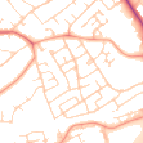
Daytime· 07:00 – 23:00
50.6dB

Night-time· 23:00 – 07:00
40.8dB