13 Burned Grove, Halifax, HX3 7PU
About 13 Burned Grove
13 Burned Grove is a two-bedroom semi-detached house in Halifax (HX3 7PU). It has a recorded floor area of 70 m² (around 753 sq ft), construction records dating it to 1950-1966 and council tax band C. The latest certificate (October 2019) shows an E (score 51), well below the UK norm with real room to improve. The recommended improvements would lift it to C (score 74), a 2-band jump. The home occupies a cul-de-sac position.
At 70 m² it's 16.7% larger than the typical home in the postcode (60 m² median across 14 EPCs). It lags the bulk of the postcode on energy efficiency (less efficient than 71% of similar EPCs). Today's modelled estimate of £254,000 is 27% above the 2019 sale price. Last sale on file: £200,000 in December 2019.
What this property has
Inside
- Bedrooms2
- Bathrooms1
- Dining roomYes
Outside
- Private gardenRear
- GarageDetached
- Cul-de-sacYes
Everything you need to know about 13 Burned Grove
The true value, the hidden risks and the full sale history, in one report.
Pick your report · every report is £14.99
One time fee only - money back guarantee

The data behind every report


Energy performance
Recommended upgrades on file would lift this property by multiple EPC bands.
EPC Rating
Get a survey for this property
Level 2 HomeBuyer Report
We've checked 10 risk factors against the available data for this property and believe a Level 2 HomeBuyer Report could be a suitable option for you.
From £545 · Includes VAT
Planning history
13 Burned Grove has no planning applications on record.
A planning report still maps activity across the surrounding area and reads this property's extension & conversion potential.
Sales history & valuation
13 Burned Grove valuation sits well clear of the typical sold price in this postcode.
£254,000
Modelled from EPC, postcode comparables.
£200,000
Recorded with HM Land Registry.
Sales timeline
6 December 2019Most recent
£200,000
Median price across the last 5 sales in HX3 7PU: £199,950 (2025–2022).
Versus other Burned Grove homes
13 Burned Grove is notably below the street on epc rating.
Price per m²
£2,857
Street avg £3,302
Floor Area
70 m²
Street avg 63 m²
Habitable Rooms
4 rooms
Street avg 4 rooms
CO₂ Emissions
5.2 t/year
Street avg 3.9 t/year
Everything you need to know about 13 Burned Grove
The true value, the hidden risks and the full sale history, in one report.
Pick your report · every report is £14.99
One time fee only - money back guarantee
The data behind every report
Similar properties nearby
1 Burned Grove
HX3 7PU
1 Burnley Hill Cottage, Score Hill
HX3 7LJ
1 Anderton Fold
HX3 7DY
1 Almond Court, Northowram
HX3 7WA
1 Bunney Green
HX3 7SP
1 Beech Close
HX3 7QR
1 Brow Lane, Shelf
HX3 7QJ
1 Brow Wood Rise
HX3 7QN
The neighbourhood at a glance
Reported crime in the wider district is trending notably upward year-on-year.
Crime
3/mo
Rising year-on-year across the wider district.
Nearest stop
0.3 km
Wade House Rd Brow Lane — bus stop.
Closest school
0.5 km
St Michael and All Angels CofE Primary & Pre School. 23 schools nearby.
Go deeper on the local area
A Local Area report breaks down crime, transport links, schools and air quality in depth.
Road noise across the postcode
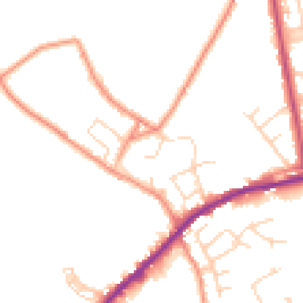
Daytime· 07:00 – 23:00
48.1dB

Night-time· 23:00 – 07:00
39.0dB