2 Birdcage, New Bank, Halifax, HX3 6AJ
About 2 Birdcage
2 Birdcage is an end-of-terrace house in New Bank, Halifax, Halifax (HX3 6AJ). It has a recorded floor area of 97 m² (around 1044 sq ft), construction records dating it to 1900-1929 and council tax band A. The latest certificate (July 2025) shows a C (score 70).
Across 2002–2017, sale prices on this property compounded at 1.5% per year. Today's modelled estimate of £124,000 sits 210% above the 2017 sale of £39,999. On the market in April 2017 and unlisted since — roughly 9 years.
Everything you need to know about 2 Birdcage
The true value, the hidden risks and the full sale history, in one report.
Pick your report · every report is £14.99
One time fee only - money back guarantee

The data behind every report


Energy performance
EPC Rating
Get a survey for this property
Level 3 Building Survey
Because the property was built before 1919 and has solid (non-cavity) walls, we believe a Level 3 building survey should be considered.
From £820 · Includes VAT
Planning history
2 Birdcage has no planning applications on record.
But the area is active
3 notable applications nearby — larger schemes and conversions that could reshape the street. The report maps them all.
Sales history & valuation
2 Birdcage's estimated value is more than triple its earliest registered sale price (2002).
£124,000
Modelled from EPC, postcode comparables and a sale-price growth of 1.5% per year over 15 years.
£39,999
Growth on file: 1.5% per year over 15 years.
Sales timeline
19 April 2017Most recent
£39,999
+25.0%over 14 years16 May 2002
£32,000
Everything you need to know about 2 Birdcage
The true value, the hidden risks and the full sale history, in one report.
Pick your report · every report is £14.99
One time fee only - money back guarantee
The data behind every report
Similar properties nearby
The neighbourhood at a glance
Rail-style transport is unusually close for this postcode.
Crime
3/mo
Rising year-on-year across the wider district.
Nearest stop
0.1 km
Godley Bridge — bus stop.
Closest school
0.4 km
St Joseph's Catholic Primary Academy. 24 schools nearby.
Go deeper on the local area
A Local Area report breaks down crime, transport links, schools and air quality in depth.
Road noise across the postcode
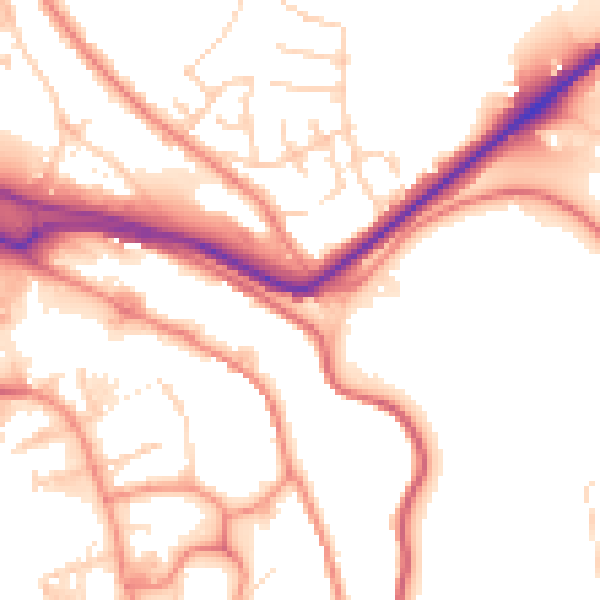
Daytime· 07:00 – 23:00
53.4dB
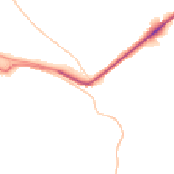
Night-time· 23:00 – 07:00
44.1dB