2 Copley View, Halifax, HX3 0TX
About 2 Copley View
2 Copley View is a three-bedroom semi-detached house in Halifax (HX3 0TX). It has a recorded floor area of 82 m² (around 883 sq ft), construction records dating it to 1950-1966 and council tax band C. The latest certificate (July 2014) shows an E (score 39), well below the UK norm with real room to improve. The recommended improvements would lift it to C (score 72), a 2-band jump. The latest certificate is from July 2014, so improvements made since then won't be reflected.
At 82 m² the property is well over the postcode median (63 m² across 7 EPCs), placing it in the larger end of the local stock. On energy efficiency it sits in the bottom 10% of properties in this postcode — significant headroom for improvement. Last sold in March 2017, so it's been off the market for around 9 years. Today's modelled estimate of £194,000 is 33.8% above the 2017 sale price.
What this property has
Inside
- Bedrooms3
Outside
- Private gardenFront and rear
- GarageYes
Building
- Central heatingYes
- RefurbishedYes
Everything you need to know about 2 Copley View
The true value, the hidden risks and the full sale history, in one report.
Pick your report · every report is £14.99
One time fee only - money back guarantee

The data behind every report


Energy performance
2 Copley View sits at the bottom of the postcode for energy efficiency — meaningful headroom to improve.
EPC Expired
This certificate is over 10 years old and is no longer valid.Expired 01 Jul 2024
EPC Rating
Get a survey for this property
Level 2 HomeBuyer Report
We've checked 10 risk factors against the available data for this property and believe a Level 2 HomeBuyer Report could be a suitable option for you.
From £495 · Includes VAT
Planning history
2 Copley View has no planning applications on record.
But the area is active
1 notable application nearby — larger schemes and conversions that could reshape the street. The report maps them all.
Sales history & valuation
2 Copley View valuation sits well clear of the typical sold price in this postcode.
£194,000
Modelled from EPC, postcode comparables.
£145,000
Recorded with HM Land Registry.
Sales timeline
30 March 2017Most recent
£145,000
Median price across the last 5 sales in HX3 0TX: £183,000 (2025–2019).
Versus other Copley View homes
2 Copley View is notably below the street on price per m².
Price per m²
£1,768
Street avg £2,601
Floor Area
82 m²
Street avg 72 m²
Habitable Rooms
4 rooms
Street avg 4 rooms
CO₂ Emissions
6.8 t/year
Street avg 4.2 t/year
Everything you need to know about 2 Copley View
The true value, the hidden risks and the full sale history, in one report.
Pick your report · every report is £14.99
One time fee only - money back guarantee
The data behind every report
Similar properties nearby
1 Copley Wood View, New Lane, Skircoat Green
HX3 0TE
1 Copley Grove
HX3 0TZ
1 Cheltenham Place
HX3 0AW
1 Copley View
HX3 0TX
1 Delph Brow, Skircoat Moor Road
HX3 0GZ
1 Bristol Street
HX3 0PT
1 Copley Drive
HX3 0US
1 Delph View, Wakefield Gate
HX3 0NQ
The neighbourhood at a glance
Reported crime in the wider district is trending notably upward year-on-year.
Crime
3/mo
Rising year-on-year across the wider district.
Nearest stop
0.0 km
Wakefield Road Copley Grove — bus stop.
Closest school
0.2 km
Copley Primary School. 27 schools nearby.
Go deeper on the local area
A Local Area report breaks down crime, transport links, schools and air quality in depth.
Road noise across the postcode
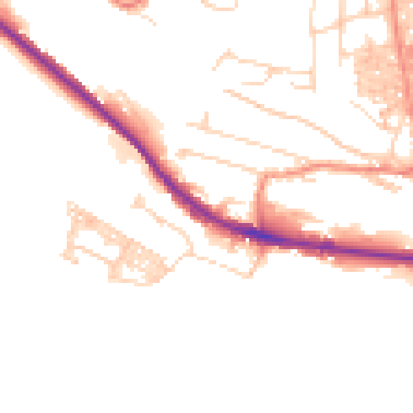
Daytime· 07:00 – 23:00
49.8dB

Night-time· 23:00 – 07:00
40.0dB