5 St Albans Croft, Halifax, HX3 0AZ
About 5 St Albans Croft
5 St Albans Croft is a mid-terrace house in Halifax (HX3 0AZ). It has a recorded floor area of 44 m² (around 474 sq ft), construction records dating it to 1983-1990 and council tax band A. At 44 m² this is the smallest unit on EPC record across the building (44–54 m²). The building's EPC ratings span D to C, with this unit at the top. The latest certificate (July 2014) shows a C (score 71). Main heating runs on electricity. The latest certificate is from July 2014, so improvements made since then won't be reflected.
One planning record on file: new windows approved in 2017. Past consents include new windows, meaningful when judging how the property has evolved.
Everything you need to know about 5 St Albans Croft
The true value, the hidden risks and the full sale history, in one report.
Pick your report · every report is £14.99
One time fee only - money back guarantee

The data behind every report


Energy performance
5 St Albans Croft's EPC is over a decade old — improvements since won't be reflected.
EPC Expired
This certificate is over 10 years old and is no longer valid.Expired 10 Jul 2024
EPC Rating
Get a survey for this property
Level 3 Building Survey
Because the property has no mains gas supply, we believe a Level 3 building survey should be considered.
From £820 · Includes VAT
Planning history
1 application on record at 5 St Albans Croft, Halifax, HX3 0AZ
- Sept 2017RenovationFullOutcome in report
Replacement of existing windows and doors with new PVCu windows, composite front doors and PVCu rear doors
New Windows- Documents
- 12 docs on file
- Reference
- 17/00850/HSE
Unlock 5 St Albans Croft, Halifax, HX3 0AZ's full planning history
You're seeing the shape of it. The report has the substance.
- Every decision — granted, refused or withdrawn (1 on record)
- All 1 application on this property in full, plus 1 notable nearby
- The 12 documents, officer reports & conditions
- What the pattern means for extending or converting here
One time fee only - money back guarantee
Sales history & valuation
5 St Albans Croft has no Land Registry sales on file, suggesting it has stayed in the same hands since registration began.
£114,000
Modelled from EPC, postcode comparables.
No sales recorded with HM Land Registry
That can mean the property has never traded since the registry began publishing in 1995, was a new build that hasn't been registered yet, or is held in the same hands long-term.
Versus other St Albans Croft homes
On floor area, 5 St Albans Croft runs well behind the street norm.
EPC Rating
71 (C)
Street avg 71 (C)
Floor Area
44 m²
Street avg 50 m²
CO₂ Emissions
3.0 t/year
Street avg 3.4 t/year
Habitable Rooms
2 rooms
Street avg 2 rooms
Everything you need to know about 5 St Albans Croft
The true value, the hidden risks and the full sale history, in one report.
Pick your report · every report is £14.99
One time fee only - money back guarantee
The data behind every report
Similar properties nearby
The neighbourhood at a glance
Reported crime in the wider district is trending notably upward year-on-year.
Crime
3/mo
Rising year-on-year across the wider district.
Nearest stop
0.1 km
Stafford Road — bus stop.
Closest school
0.1 km
Salterhebble Junior and Infant School. 24 schools nearby.
Go deeper on the local area
A Local Area report breaks down crime, transport links, schools and air quality in depth.
Road noise across the postcode
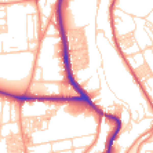
Daytime· 07:00 – 23:00
54.8dB

Night-time· 23:00 – 07:00
44.3dB