5 Abbey Walk, Halifax, HX3 0AJ
About 5 Abbey Walk
5 Abbey Walk is a mid-terrace house in Halifax (HX3 0AJ). It has a recorded floor area of 118 m² (around 1270 sq ft), construction records dating it to 1900-1929 and council tax band B. The latest certificate (March 2018) shows an E (score 39), well below the UK norm with real room to improve. The recommended improvements would lift it to C (score 75), a 2-band jump.
Across 1997–2019, sale prices on this property compounded at 5.5% per year. Today's modelled estimate of £219,000 sits 51% above the 2019 sale of £145,000. At 118 m² it's 17.5% larger than the typical home in the postcode (100 m² median across 38 EPCs). Most recent transfer: August 2019 at £145,000.
Everything you need to know about 5 Abbey Walk
The true value, the hidden risks and the full sale history, in one report.
Pick your report · every report is £14.99
One time fee only - money back guarantee

The data behind every report


Energy performance
5 Abbey Walk's carbon output runs well above what efficient homes in the postcode produce.
EPC Rating
Get a survey for this property
Level 3 Building Survey
Because the property was built before 1919, we believe a Level 3 building survey should be considered.
From £885 · Includes VAT
Planning history
5 Abbey Walk has no planning applications on record.
But the area is active
1 notable application nearby — larger schemes and conversions that could reshape the street. The report maps them all.
Sales history & valuation
Sale price has grown by over 3x since 1997.
£219,000
Modelled from EPC, postcode comparables and a sale-price growth of 5.5% per year over 22 years.
£145,000
Growth on file: 5.5% per year over 22 years.
Sales timeline
1 August 2019Most recent
£145,000
+222.2%over 21 years18 September 1997
£45,000
Median price across the last 5 sales in HX3 0AJ: £200,000 (2025–2024).
Versus other Abbey Walk homes
5 Abbey Walk is notably below the street on co₂ emissions.
Price per m²
£1,229
Street avg £1,554
Floor Area
118 m²
Street avg 105 m²
Habitable Rooms
5 rooms
Street avg 5 rooms
CO₂ Emissions
10.0 t/year
Street avg 7.5 t/year
Everything you need to know about 5 Abbey Walk
The true value, the hidden risks and the full sale history, in one report.
Pick your report · every report is £14.99
One time fee only - money back guarantee
The data behind every report
Similar properties nearby
1 Copley Mount
HX3 0TY
1 Copley Grove
HX3 0TZ
1 Abbey Walk South
HX3 0AP
1 Birdcage Hill
HX3 0JB
1 Copley View
HX3 0TX
1 Abbotts Ladies Homes, Skircoat Green Road
HX3 0LA
1 Copley Wood View, New Lane, Skircoat Green
HX3 0TE
1 Cheltenham Place
HX3 0AW
The neighbourhood at a glance
Reported crime in the wider district is trending notably upward year-on-year.
Crime
3/mo
Rising year-on-year across the wider district.
Nearest stop
0.2 km
Spring Hall — bus stop.
Closest school
0.4 km
Salterhebble Junior and Infant School. 27 schools nearby.
Go deeper on the local area
A Local Area report breaks down crime, transport links, schools and air quality in depth.
Road noise across the postcode
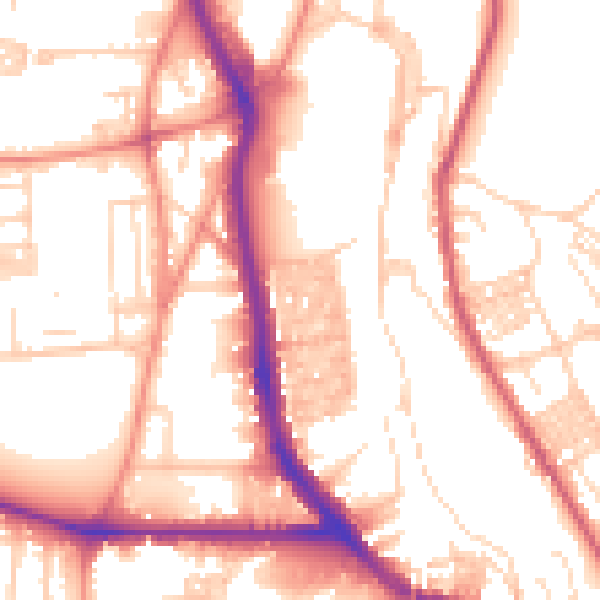
Daytime· 07:00 – 23:00
54.6dB

Night-time· 23:00 – 07:00
44.6dB