47 Chestnut Avenue, Withernsea, HU19 2PG
About 47 Chestnut Avenue
47 Chestnut Avenue is a three-bedroom semi-detached house in Withernsea (HU19 2PG). It has a recorded floor area of 110 m² (around 1184 sq ft), construction records dating it to 1930-1949 and council tax band B. The latest certificate (March 2021) shows a D (score 55), a step below the typical UK home. When first surveyed in November 2009 the rating was E, the property has climbed 1 band since. Between certificates, roof efficiency went from Good to Very Good; while wall efficiency dropped from Good to Very Poor and window efficiency dropped from Good to Average. The recommended improvements would lift it to B (score 85), a 2-band jump. Records show the property has been extended at some point in its history.
At 110 m² it's 25% larger than the typical home in the postcode (88 m² median across 34 EPCs). Across 2002–2024, sale prices on this property compounded at 6.3% per year. On a £-per-square-foot basis, the last sale (£136/sq ft) was about 21.5% above the typical sold price in the postcode. Last sale on file: £161,000 in October 2024.
Know exactly what you're buying at 47 Chestnut Avenue
Before you offer, see what the listing won't tell you, the true value, the red flags and the full history.
Already flagged here
Valuation
against the asking price
Risks
planning & flood
Sold prices
similar homes nearby
Trends
the local market
What this property has
Inside
- Bedrooms3
- Bathrooms1
- Open-plan layoutYes
- Dining roomYes
Outside
- Private gardenRear
Building
- Heating systemGas
- Previously extendedYes
Energy performance
47 Chestnut Avenue's carbon output runs well above what efficient homes in the postcode produce.
EPC Rating
Property Improvements
Changes detected from historical EPC data
Hot water efficiency decreased
Loft insulation upgraded to recommended levels
More low energy lighting installed
Planning history
47 Chestnut Avenue has no planning applications on record.
Notable planning nearby
4applications of note in the surrounding area
We flagged 1 thing worth checking at 47 Chestnut Avenue
Independent checks surfaced things a buyer would want to understand before offering. The report explains each one in full, with the underlying data and what to ask.
- Larger development activity nearby
30-day money-back guarantee
Sales history & valuation
47 Chestnut Avenue has more than tripled in price since its earliest registered sale in 2002.
£174,000
Modelled from EPC, postcode comparables and a sale-price growth of 6.3% per year over 23 years.
£161,000
Growth on file: 6.3% per year over 23 years.
Sales timeline
30 October 2024Most recent
£161,000
+20.2%over 17 years23 February 2007
£133,950
+230.7%over 4 years29 April 2002
£40,500
Median price across the last 5 sales in HU19 2PG: £185,000 (2025–2024).
Nearby sales in HU19 2PG
4 Chestnut Avenue, Withernsea, HU19 2PG
Sold May 2025
£128,00025a, Chestnut Avenue, Withernsea, HU19 2PG
Sold Mar 2025
£290,00019 Chestnut Avenue, Withernsea, HU19 2PG
Sold Mar 2025
£210,0007 Chestnut Avenue, Withernsea, HU19 2PG
Sold Mar 2024
£112,50012 Chestnut Avenue, Withernsea, HU19 2PG
Sold Jan 2024
£185,000
Everything we know about 47 Chestnut Avenue, in one report
What it's really worth, what could be wrong, and the planning, sales and area data in full.
What we flagged
- Larger development activity nearby

Versus other Chestnut Avenue homes
47 Chestnut Avenue is notably below the street on years held.
Price per m²
£1,464
Street avg £1,375
Floor Area
110 m²
Street avg 94 m²
Habitable Rooms
5 rooms
Street avg 5 rooms
CO₂ Emissions
6.6 t/year
Street avg 5.4 t/year
Similar properties nearby
1 Carrs Meadow
HU19 2EL
1 Chellsway
HU19 2EN
1 Cheverton Avenue
HU19 2HW
1 Holmpton Road
HU19 2QD
1 High Brighton Street
HU19 2HL
1 Cherry Tree Avenue
HU19 2LY
1 Heather Avenue
HU19 2DE
1 Coronation Cottages, Hollym
HU19 2SA
The neighbourhood at a glance
Daytime road noise here sits well below conversation level — a quiet pocket of the postcode.
Crime
3/mo
Steady year-on-year across the wider district.
Nearest stop
0.2 km
Hollym Road Withernsea — bus stop.
Closest school
1.4 km
Withernsea Primary School. 2 schools nearby.
Go deeper on the local area
The full report breaks down crime, transport links, schools and air quality in depth.
Road noise across the postcode
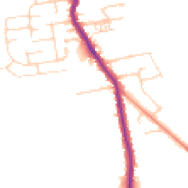
Daytime· 07:00 – 23:00
47.0dB

Night-time· 23:00 – 07:00
38.6dB