23 West Green, Cottingham, HU16 4BH
About 23 West Green
23 West Green is a two-bedroom mid-terrace house in Cottingham (HU16 4BH). It has a recorded floor area of 66 m² (around 710 sq ft), construction records dating it to 2003-2006 and council tax band C. Tenure is freehold. The property has solar panels on record, all of which lower running costs and tend to lift resale appeal. Our model identifies extension potential, subject to local planning policy. The latest certificate (November 2014) shows a C (score 72). The recommended improvements would push it to B (score 90). The latest certificate is from November 2014, so improvements made since then won't be reflected.
Across 1998–2023, sale prices on this property compounded at 4.8% per year. On a £-per-square-foot basis, the last sale (£253/sq ft) was about 100% above the typical sold price in the postcode. Most recent transfer: April 2023 at £180,000.
What this property has
Inside
- Bedrooms2
- Bathrooms1
Building
- TenureFreehold
- Solar panelsYes
- Extension potentialPossible
Everything you need to know about 23 West Green
The true value, the hidden risks and the full sale history, in one report.
30-day money-back guarantee

The data behind every report


Energy performance
23 West Green's EPC is over a decade old — improvements since won't be reflected.
EPC Expired
This certificate is over 10 years old and is no longer valid.Expired 10 Nov 2024
EPC Rating
Planning history
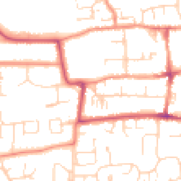
23 West Green has no planning applications on record.
The full report still covers planning activity across the surrounding area.
Sales history & valuation
23 West Green has more than tripled in price since its earliest registered sale in 1998.
£189,000
Modelled from EPC, postcode comparables and a sale-price growth of 4.8% per year over 25 years.
£180,000
Growth on file: 4.8% per year over 25 years.
Sales timeline
13 April 2023Most recent
£180,000
+221.7%over 25 years4 March 1998
£55,950
Median price across the last 5 sales in HU16 4BH: £170,000 (2022–2015).
Nearby sales in HU16 4BH
Versus other West Green homes
Years Held for 23 West Green lags the street by a wide margin.
Price per m²
£2,727
Street avg £1,874
Floor Area
66 m²
Street avg 104 m²
Habitable Rooms
4 rooms
Street avg 5 rooms
CO₂ Emissions
2.2 t/year
Street avg 6.5 t/year
Everything you need to know about 23 West Green
The true value, the hidden risks and the full sale history, in one report.
30-day money-back guarantee
The data behind every report
Similar properties nearby
The neighbourhood at a glance
Rail-style transport is unusually close for this postcode.
Crime
4/mo
Steady year-on-year across the wider district.
Nearest stop
0.1 km
Cottingham Baynard Ave — bus stop.
Closest school
0.3 km
Westfield Primary School. 16 schools nearby.
Go deeper on the local area
The full report breaks down crime, transport links, schools and air quality in depth.
Road noise across the postcode
Daytime· 07:00 – 23:00
49.8dB
Night-time· 23:00 – 07:00
39.5dB