2 Cedar Avenue, Cottingham, HU16 4AL
About 2 Cedar Avenue
2 Cedar Avenue is a two-bedroom semi-detached house in Cottingham (HU16 4AL). It has a recorded floor area of 74 m² (around 797 sq ft), construction records dating it to 1950-1966 and council tax band D. The latest certificate (March 2016) shows an E (score 48), well below the UK norm with real room to improve. The recommended improvements would lift it to B (score 84), a 3-band jump. The latest certificate is from March 2016, so improvements made since then won't be reflected.
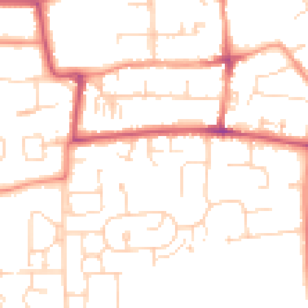
On energy efficiency it sits in the bottom 10% of properties in this postcode — significant headroom for improvement. Across 2016–2023, sale prices on this property compounded at 3.4% per year. On a £-per-square-foot basis, the last sale (£282/sq ft) was about 39.1% above the typical sold price in the postcode. Sold July 2023 for £225,000.
What this property has
Inside
- Bedrooms2
- Bathrooms1
- Dining roomYes
- CloakroomYes
Outside
- Private gardenYes
- GarageYes
Everything you need to know about 2 Cedar Avenue
The true value, the hidden risks and the full sale history, in one report.
30-day money-back guarantee

The data behind every report


Energy performance
2 Cedar Avenue sits at the bottom of the postcode for energy efficiency — meaningful headroom to improve.
EPC Expired
This certificate is over 10 years old and is no longer valid.Expired 03 Mar 2026
EPC Rating
Planning history
2 Cedar Avenue has no planning applications on record.
The full report still covers planning activity across the surrounding area.
Sales history & valuation
2 Cedar Avenue valuation sits well clear of the typical sold price in this postcode.
£241,000
Modelled from EPC, postcode comparables and a sale-price growth of 3.4% per year over 7 years.
£225,000
Growth on file: 3.4% per year over 7 years.
Sales timeline
6 July 2023Most recent
£225,000
+25.0%over 6 years31 October 2016
£180,000
Median price across the last 5 sales in HU16 4AL: £275,000 (2024–2023).
Nearby sales in HU16 4AL
Versus other Cedar Avenue homes
EPC Rating for 2 Cedar Avenue lags the street by a wide margin.
Price per m²
£3,041
Street avg £2,471
Floor Area
74 m²
Street avg 86 m²
Habitable Rooms
4 rooms
Street avg 4 rooms
CO₂ Emissions
5.2 t/year
Street avg 3.9 t/year
Everything you need to know about 2 Cedar Avenue
The true value, the hidden risks and the full sale history, in one report.
30-day money-back guarantee
The data behind every report
Similar properties nearby
The neighbourhood at a glance
Rail-style transport is unusually close for this postcode.
Crime
4/mo
Steady year-on-year across the wider district.
Nearest stop
0.1 km
Cottingham South Street — bus stop.
Closest school
0.2 km
Bacon Garth Primary School. 15 schools nearby.
Go deeper on the local area
The full report breaks down crime, transport links, schools and air quality in depth.
Road noise across the postcode
Daytime· 07:00 – 23:00
49.1dB
Night-time· 23:00 – 07:00
39.0dB