25a, Brownswood Road, Beaconsfield, HP9 2NU
EPC B
About 25a
A plain-English summary derived from public records, EPC certificates, sold prices and local data.
25a is a detached house in Beaconsfield (HP9 2NU). It has a recorded floor area of 261 m² (around 2809 sq ft). The latest certificate (February 2021) returns a high B (score 86), putting the home a stone's throw from an A rating.
Its energy rating outperforms most of the postcode (better than 81% of similar EPCs). Today's modelled estimate of £2,118,000 is 17.7% above the 2021 sale price. On a £-per-square-foot basis, the last sale (£641/sq ft) was about 47.2% above the typical sold price in the postcode. 3 planning records sit against the property, 0 approved, 0 refused. Most recent transfer: May 2021 at £1,800,000. That sale was during the post-pandemic price surge, when transactions cleared materially above pre-2020 trend.
Energy performance
Every EPC certificate filed against this property — current rating, recorded improvements, and where there's headroom to reach a higher band.
Achieving this rating across a home of this size is uncommon — larger homes typically score lower.
EPC Rating
A
B
B86
C
D
E
F
G
Main Heating
Gas
Main Fuel
Gas
Hot Water
Good
Windows
Very Good
CO2 Emissions
3.1 t/year
Occupancy
—
Planning history
Applications and permits filed against 25a, Brownswood Road, Beaconsfield, HP9 2NU, sourced from the PlanIt planning register.
Planning history at 25a is exclusively tree-management applications — typical for a property with mature trees on or near the plot.
- Jul 2022Tree WorksTreesGranted
T1 beech - fell. (TPO/BCC/1951/16)
Sales history & valuation
Recorded transactions, our model's current estimate, and a quick read on what neighbouring properties have sold for.
The latest sale landed in the post-pandemic price surge — useful context when reading the figure.
Current estimate
See how we calculated this£2,118,000
Modelled from EPC, postcode comparables.
Last sold (2021)
£1,800,000
Recorded with HM Land Registry.
Sales timeline
Launch offer · 33% off
The complete analysis of 25a, Brownswood Road, Beaconsfield, HP9 2NU
Everything we know about this property, compiled into one in-depth, downloadable report.
Detailed analysis
A written breakdown of everything that matters
Versus other Brownswood Road homes
Four headline reads against 16 similar houses on this street, drawn from the latest EPC and Land Registry data.
25a outperforms the street on epc rating by a wide margin.
Price per m²
£6,897
Street avg £6,195
Floor Area
261 m²
Street avg 298 m²
CO₂ Emissions
3.1 t/year
Street avg 8.0 t/year
Similar properties nearby
A handful of close matches in the same postcode area, ranked by likeness on bedrooms, type and floor area.
The neighbourhood at a glance
A condensed read of the local area. Each tile links through to the full breakdown on the Beaconsfield district page.
Rail-style transport is unusually close for this postcode.
Crime
2/mo
Steady year-on-year across the wider district.
Nearest stop
0.2 km
Sandleswood End H&R — bus stop.
Road noise across the postcode
Modelled day and night-time noise levels around HP9 2NU from Defra's strategic mapping. The pin marks this postcode's centroid.
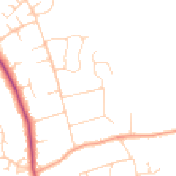
Daytime· 07:00 – 23:00
46.3dB

Everything within walking distance
Schools, transport stops and scenic spots near this property — 36 points of interest in total.
Common questions
The questions buyers, sellers and homeowners most often ask about 25a, Brownswood Road, Beaconsfield, HP9 2NU. Each answer is also embedded as structured data for search engines.
