16 Abbey Road, Huddersfield, HD2 1AZ
About 16 Abbey Road
16 Abbey Road is an end-of-terrace house in Huddersfield (HD2 1AZ). It has a recorded floor area of 60 m² (around 646 sq ft), construction records dating it to 1930-1949 and council tax band A. The latest certificate (December 2025) shows a D (score 58), a step below the typical UK home. The rating has held steady at D across 2 certificates since January 2019. Between certificates, window efficiency dropped from Average to Poor and lighting dropped from Very Good to Very Poor. The recommended improvements would push it to C (score 74). This certificate was lodged in the last six months, so the rating reflects current condition.
Everything you need to know about 16 Abbey Road
The true value, the hidden risks and the full sale history, in one report.
Pick your report · every report is £14.99
One time fee only - money back guarantee

The data behind every report


Energy performance
The EPC has just been inspected, so the rating reflects current condition.
EPC Rating
Property Improvements
Changes detected from historical EPC data
Roof insulation improved
Low energy lighting percentage decreased
Get a survey for this property
Level 2 HomeBuyer Report
We've checked 10 risk factors against the available data for this property and believe a Level 2 HomeBuyer Report could be a suitable option for you.
From £495 · Includes VAT
Planning history
16 Abbey Road has no planning applications on record.
But the area is active
1 notable application nearby — larger schemes and conversions that could reshape the street. The report maps them all.
Sales history & valuation
16 Abbey Road has no Land Registry sales on file, suggesting it has stayed in the same hands since registration began.
£116,000
Modelled from EPC, postcode comparables.
No sales recorded with HM Land Registry
That can mean the property has never traded since the registry began publishing in 1995, was a new build that hasn't been registered yet, or is held in the same hands long-term.
Versus other Abbey Road homes
16 Abbey Road is notably below the street on floor area.
EPC Rating
58 (D)
Street avg 64 (D)
Floor Area
60 m²
Street avg 71 m²
CO₂ Emissions
2.8 t/year
Street avg 3.0 t/year
Habitable Rooms
4 rooms
Street avg 5 rooms
Everything you need to know about 16 Abbey Road
The true value, the hidden risks and the full sale history, in one report.
Pick your report · every report is £14.99
One time fee only - money back guarantee
The data behind every report
Similar properties nearby
The neighbourhood at a glance
Reported crime in the wider district is trending notably upward year-on-year.
Crime
5/mo
Rising year-on-year across the wider district.
Nearest stop
0.1 km
Hammond St Abbey Road — bus stop.
Closest school
0.5 km
Birkby Junior School. 24 schools nearby.
Go deeper on the local area
A Local Area report breaks down crime, transport links, schools and air quality in depth.
Road noise across the postcode
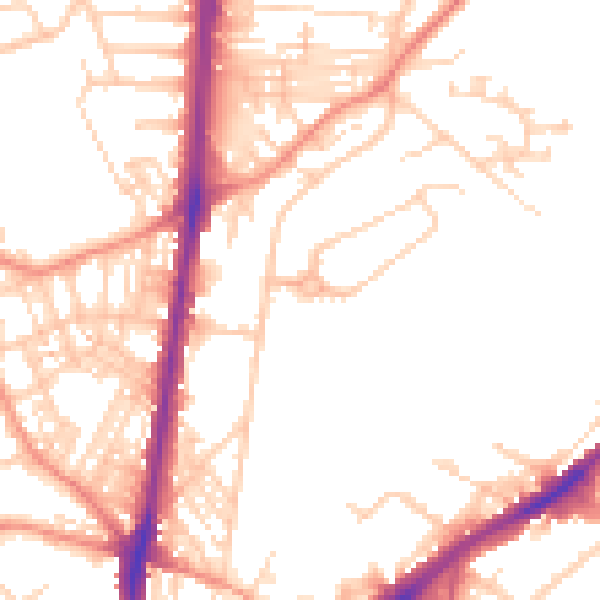
Daytime· 07:00 – 23:00
52.3dB

Night-time· 23:00 – 07:00
41.1dB