Chartergrove, Flat 3, The Avenue, Petersfield, GU31 4JU
About Chartergrove
Chartergrove is a one-bedroom detached house in Petersfield (GU31 4JU). It has a recorded floor area of 44 m² (around 474 sq ft), construction records dating it to 1967-1975 and council tax band B. At 44 m² this is the 2nd smallest of 6 units on EPC record in Chartergrove, where floor areas span 43–61 m². The building's EPC ratings span D to C, with this unit at the bottom. The latest certificate (September 2020) shows a D (score 66), on the cusp of jumping into the C band. The rating has held steady at D across 3 certificates since March 2010. Between certificates, window efficiency went from Poor to Good and lighting went from Poor to Very Good; while hot-water efficiency dropped from Very Good to Good and main heating dropped from Very Good to Good. The recommended improvements would push it to C (score 74).
Across 2003–2015, sale prices on this property compounded at 3.3% per year. Today's modelled estimate of £214,000 is 25.9% above the 2015 sale price. On a £-per-square-foot basis, the last sale (£359/sq ft) was about 286.4% above the typical sold price in the postcode. Last sold in June 2015, so it's been off the market for around 11 years. At 44 m² it's 27.9% smaller than the typical home in the postcode (61 m² median across 5 EPCs).
Know exactly what you're buying at Chartergrove
Before you offer, see what the listing won't tell you, the true value, the red flags and the full history.
Already flagged here
Valuation
against the asking price
Risks
planning & flood
Sold prices
similar homes nearby
Trends
the local market
What this property has
Inside
- Bedrooms1
- Bathrooms1
Outside
- Private gardenYes
- GarageYes
Building
- RefurbishedYes
Energy performance
EPC Rating
Property Improvements
Changes detected from historical EPC data
Heating controls upgraded for better temperature management
Hot water efficiency decreased
Windows upgraded, improving insulation
More low energy lighting installed
Planning history
Chartergrove has no planning applications on record.
Notable planning nearby
3applications of note in the surrounding area
We flagged 1 thing worth checking at Chartergrove
Independent checks surfaced things a buyer would want to understand before offering. The report explains each one in full, with the underlying data and what to ask.
- Larger development activity nearby
30-day money-back guarantee
Sales history & valuation
Chartergrove valuation sits well clear of the typical sold price in this postcode.
£214,000
Modelled from EPC, postcode comparables and a sale-price growth of 3.3% per year over 12 years.
£169,950
Growth on file: 3.3% per year over 12 years.
Sales timeline
2 June 2015Most recent
£169,950
+33.8%over 3 years20 September 2011
£127,000
+11.4%over 8 years2 April 2003
£114,000
Median price across the last 5 sales in GU31 4JU: £140,000 (2021–1998).
Nearby sales in GU31 4JU
Chartergrove, Flat 2, The Avenue, Petersfield, GU31 4JU
Sold Dec 2021
£260,000Chartergrove, Flat 5, The Avenue, Petersfield, GU31 4JU
Sold Jul 2019
£220,105Chartergrove, Flat 4, The Avenue, Petersfield, GU31 4JU
Sold May 1999
£57,000Chartergrove, Flat 1, The Avenue, Petersfield, GU31 4JU
Sold Aug 1998
£64,950
Everything we know about Chartergrove, in one report
What it's really worth, what could be wrong, and the planning, sales and area data in full.
What we flagged
- Larger development activity nearby

Versus other The Avenue homes
On habitable rooms, Chartergrove runs well behind the street norm.
Price per m²
£3,863
Street avg £2,498
Floor Area
44 m²
Street avg 57 m²
Habitable Rooms
2 rooms
Street avg 3 rooms
CO₂ Emissions
2.1 t/year
Street avg 2.6 t/year
Similar properties nearby
Chartergrove, Flat 4, The Avenue
GU31 4JU
Chartergrove, Flat 5, The Avenue
GU31 4JU
Chartergrove, Flat 1, The Avenue
GU31 4JU
Chartergrove, Flat 2, The Avenue
GU31 4JU
Compton House, Flat 1, Idsworth Down
GU31 4EF
Chilgrove House, Flat 3, Marden Way
GU31 4PU
Chilgrove House, Flat 7, Marden Way
GU31 4PU
Chartergrove, Flat 6, The Avenue
GU31 4JU
The neighbourhood at a glance
Rail-style transport is unusually close for this postcode.
Crime
1/mo
Steady year-on-year across the wider district.
Nearest stop
0.0 km
Dragon Street — bus stop.
Closest school
0.1 km
Petersfield Infant School. 6 schools nearby.
Go deeper on the local area
The full report breaks down crime, transport links, schools and air quality in depth.
Road noise across the postcode
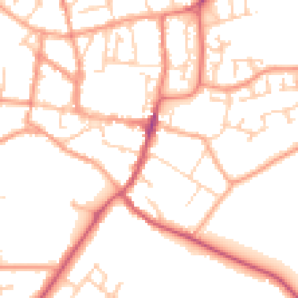
Daytime· 07:00 – 23:00
50.8dB
Night-time· 23:00 – 07:00
40.6dB