17 Chestnut Avenue, Haslemere, GU27 2AT
About 17 Chestnut Avenue
17 Chestnut Avenue is a three-bedroom detached house in Haslemere (GU27 2AT). It has a recorded floor area of 84 m² (around 904 sq ft), construction records dating it to 1996-2002 and council tax band F. Other recorded features include notable views and a conservatory. The latest certificate (April 2021) shows a C (score 69), just inside the C band. The recommended improvements would push it to B (score 87).
It hasn't traded since December 1999, a hold of 26 years that's notably long for the area. Across 1997–1999, sale prices on this property compounded at 13.4% per year. Today's modelled estimate of £658,000 sits 216.3% above the 1999 sale of £208,000. 5 planning records sit against the property, 1 approved, 0 refused. Past consents include tree works, meaningful when judging how the property has evolved. At 84 m² it's 20.4% smaller than the typical home in the postcode (106 m² median across 16 EPCs). Its energy rating outperforms most of the postcode (better than 75% of similar EPCs).
Know exactly what you're buying at 17 Chestnut Avenue
Before you offer, see what the listing won't tell you, the true value, the red flags and the full history.
Already flagged here
Valuation
against the asking price
Risks
planning & flood
Sold prices
similar homes nearby
Trends
the local market
What this property has
Inside
- Bedrooms3
- Bathrooms1
- EnsuiteYes
- ConservatoryYes
Outside
- Private gardenRear
- GarageYes
- Notable viewsYes
Building
- RefurbishedYes
Energy performance
EPC Rating
Planning history
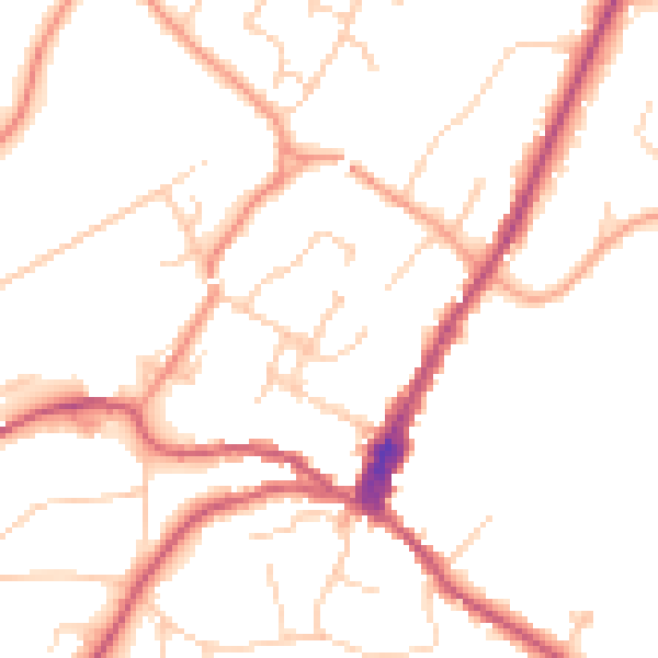
Planning history at 17 Chestnut Avenue is exclusively tree-management applications — typical for a property with mature trees on or near the plot.
- Jun 2021Tree WorksTreesIn report
Application for removal of tree subject of tree preservation order wa285
- Documents
- 9 docs on file
- Reference
- TM/2021/01038
- Aug 2017Tree WorksTreesIn report
Application for works to tree subject of tree preservation order wa285.T4 thuja - reduce in height to retain a finished height of approximately 6-7m and a crown spread of approximately 3-4m.
- Documents
- 5 docs on file
- Reference
- TM/2017/0104
We flagged 1 thing worth checking at 17 Chestnut Avenue
Independent checks surfaced things a buyer would want to understand before offering. The report explains each one in full, with the underlying data and what to ask.
- Larger development activity nearby
30-day money-back guarantee
Sales history & valuation
17 Chestnut Avenue's modelled value sits at over four times its earliest registered sale price (1997).
£658,000
Modelled from EPC, postcode comparables and a sale-price growth of 13.4% per year over 3 years.
£208,000
Growth on file: 13.4% per year over 3 years.
Sales timeline
17 December 1999Most recent
£208,000
+39.6%over 2 years21 April 1997
£149,000
Median price across the last 5 sales in GU27 2AT: £535,000 (2021–2014).
Nearby sales in GU27 2AT
7 Chestnut Avenue, Haslemere, GU27 2AT
Sold Sept 2021
£540,00023 Chestnut Avenue, Haslemere, GU27 2AT
Sold Mar 2021
£608,0005 Chestnut Avenue, Haslemere, GU27 2AT
Sold Apr 2018
£535,00010 Chestnut Avenue, Haslemere, GU27 2AT
Sold Jan 2016
£375,00021 Chestnut Avenue, Haslemere, GU27 2AT
Sold Sept 2014
£407,000
Everything we know about 17 Chestnut Avenue, in one report
What it's really worth, what could be wrong, and the planning, sales and area data in full.
What we flagged
- Larger development activity nearby

Versus other Chestnut Avenue homes
Floor Area for 17 Chestnut Avenue lags the street by a wide margin.
Price per m²
£2,476
Street avg £3,775
Floor Area
84 m²
Street avg 111 m²
Habitable Rooms
4 rooms
Street avg 6 rooms
CO₂ Emissions
3.1 t/year
Street avg 5.7 t/year
Similar properties nearby
1 Collards Gate, High Street
GU27 2HE
1 Bridge Road
GU27 2AS
1 Haste Hill
GU27 2HA
1 Dale View
GU27 2QS
1 Caxton Court
GU27 2NR
1 Courts Mount Road
GU27 2PR
1 Fernbank Cottages, Clammer Hill Road, Grayswood
GU27 2DY
1 Beech Road
GU27 2BX
The neighbourhood at a glance
Rail-style transport is unusually close for this postcode.
Crime
3/mo
Steady year-on-year across the wider district.
Nearest stop
0.2 km
High Street — bus stop.
Closest school
0.4 km
St Bartholomew's CofE Aided Primary School. 6 schools nearby.
Go deeper on the local area
The full report breaks down crime, transport links, schools and air quality in depth.
Road noise across the postcode
Daytime· 07:00 – 23:00
49.4dB
Night-time· 23:00 – 07:00
40.3dB