7 Chestnut Avenue, Haslemere, GU27 2AT
About 7 Chestnut Avenue
7 Chestnut Avenue is a four-bedroom mid-terrace house in Haslemere (GU27 2AT). It has a recorded floor area of 132 m² (around 1421 sq ft), construction records dating it to 1900-1929 and council tax band D. The latest certificate (December 2019) shows a C (score 73). The rating has held steady at C across 2 certificates since October 2010. Between certificates, window efficiency went from Very Poor to Good; while roof efficiency dropped from Good to Average and hot-water efficiency dropped from Very Good to Good. The recommended improvements would push it to B (score 83). Period features are noted in the property record. The home occupies a cul-de-sac position.
At 132 m² it's 26.9% larger than the typical home in the postcode (104 m² median across 16 EPCs). Its energy rating outperforms most of the postcode (better than 75% of similar EPCs). Across 2011–2021, sale prices on this property compounded at 4.1% per year. Today's modelled estimate of £695,000 is 28.7% above the 2021 sale price. On a £-per-square-foot basis, the last sale (£380/sq ft) was about 70.3% above the typical sold price in the postcode. Most recent transfer: September 2021 at £540,000. That sale was during the post-pandemic price surge, when transactions cleared materially above pre-2020 trend.
Know exactly what you're buying at 7 Chestnut Avenue
Before you offer, see what the listing won't tell you, the true value, the red flags and the full history.
Already flagged here
Valuation
against the asking price
Risks
planning & flood
Sold prices
similar homes nearby
Trends
the local market
What this property has
Inside
- Bedrooms4
- Bathrooms2
- Dining roomYes
- CloakroomYes
- EnsuiteYes
Outside
- Private gardenYes
- Cul-de-sacYes
Building
- Period featuresYes
Energy performance
EPC Rating
Property Improvements
Changes detected from historical EPC data
Hot water efficiency decreased
Single glazing replaced with double or better glazing
Planning history
7 Chestnut Avenue has no planning applications on record.
Notable planning nearby
2applications of note in the surrounding area
We flagged 1 thing worth checking at 7 Chestnut Avenue
Independent checks surfaced things a buyer would want to understand before offering. The report explains each one in full, with the underlying data and what to ask.
- Larger development activity nearby
30-day money-back guarantee
Sales history & valuation
The latest sale landed in the post-pandemic price surge — useful context when reading the figure.
£695,000
Modelled from EPC, postcode comparables and a sale-price growth of 4.1% per year over 10 years.
£540,000
Growth on file: 4.1% per year over 10 years.
Sales timeline
14 September 2021Most recent
£540,000
+51.7%over 10 years6 April 2011
£356,000
Median price across the last 5 sales in GU27 2AT: £407,000 (2021–2013).
Nearby sales in GU27 2AT
23 Chestnut Avenue, Haslemere, GU27 2AT
Sold Mar 2021
£608,0005 Chestnut Avenue, Haslemere, GU27 2AT
Sold Apr 2018
£535,00010 Chestnut Avenue, Haslemere, GU27 2AT
Sold Jan 2016
£375,00021 Chestnut Avenue, Haslemere, GU27 2AT
Sold Sept 2014
£407,00014 Chestnut Avenue, Haslemere, GU27 2AT
Sold Dec 2013
£200,000
Everything we know about 7 Chestnut Avenue, in one report
What it's really worth, what could be wrong, and the planning, sales and area data in full.
What we flagged
- Larger development activity nearby

Versus other Chestnut Avenue homes
7 Chestnut Avenue is notably below the street on years held.
Price per m²
£4,091
Street avg £3,629
Floor Area
132 m²
Street avg 108 m²
Habitable Rooms
7 rooms
Street avg 5 rooms
CO₂ Emissions
4.0 t/year
Street avg 5.6 t/year
Similar properties nearby
1 Fernbank Cottages, Clammer Hill Road, Grayswood
GU27 2DY
1 Collards Gate, High Street
GU27 2HE
1 Half Moon Hill
GU27 2JW
1 Bridge Road
GU27 2AS
1 Haste Hill
GU27 2HA
1 Dale View
GU27 2QS
1 Caxton Court
GU27 2NR
1 Courts Mount Road
GU27 2PR
The neighbourhood at a glance
Rail-style transport is unusually close for this postcode.
Crime
3/mo
Steady year-on-year across the wider district.
Nearest stop
0.2 km
High Street — bus stop.
Closest school
0.4 km
St Bartholomew's CofE Aided Primary School. 6 schools nearby.
Go deeper on the local area
The full report breaks down crime, transport links, schools and air quality in depth.
Road noise across the postcode
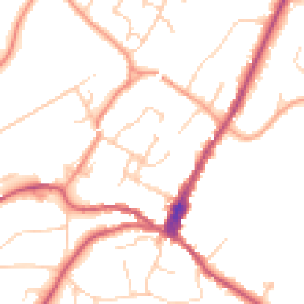
Daytime· 07:00 – 23:00
49.4dB
Night-time· 23:00 – 07:00
40.3dB