8 The Close, School Lane, Southam, Cheltenham, GL52 3NS
About 8 The Close
8 The Close is a three-bedroom semi-detached house in Southam, Cheltenham, Cheltenham (GL52 3NS). It has a recorded floor area of 86 m² (around 926 sq ft), construction records dating it to 1930-1949 and council tax band D. The latest certificate (July 2022) shows a D (score 67), on the cusp of jumping into the C band. The recommended improvements would lift it to B (score 81), a 2-band jump.
At 86 m² it sits well below the postcode median (128 m² across 6 EPCs), making it one of the more compact homes locally. Across 1999–2023, sale prices on this property compounded at 5.4% per year. Today's modelled estimate of £428,000 is 17.3% above the 2023 sale price. On a £-per-square-foot basis, the last sale (£394/sq ft) was about 102.9% above the typical sold price in the postcode. Sold April 2023 for £365,000. One historical planning record sits against the property in 2023.
What this property has
Inside
- Bedrooms3
- Bathrooms1
Everything you need to know about 8 The Close
The true value, the hidden risks and the full sale history, in one report.
Pick your report · from £14.99
One time fee only - money back guarantee

The data behind every report


Energy performance
Recommended upgrades on file would lift this property by multiple EPC bands.
EPC Rating
Certificate validity
Valid until 24 July 2032

Get a survey for this property
Level 2 HomeBuyer Report
We've checked 10 risk factors against the available data for this property and believe a Level 2 HomeBuyer Report could be a suitable option for you.
From £695 · Includes VAT
Planning history
1 application on record at 8 The Close, School Lane, Southam, Cheltenham, GL52 3NS
- May 2023Tree WorksTreesOutcome in report
3 Horse Chestnut trees at the eastern end of a row of 7 identified as G1 on the Tree Protection Order TBC/TR/92. The trees overhang the rear garden of No.8, The Close and are situated adjacent to the North-East boundary on land belonging to Southam End Cottage.Works requested: to crown raise the 3 trees to a height of 6-7 metres from ground level to prevent damage to the roof of a garden room, to prevent injury from falling debris in a seating area and reduce excessive shading.
- Documents
- 4 docs on file
- Reference
- 23/00374/TPO
Unlock 8 The Close, School Lane, Southam, Cheltenham, GL52 3NS's full planning history
You're seeing the shape of it. The report has the substance.
- Every decision — granted, refused or withdrawn (1 on record)
- All 1 application on this property in full, plus 1 notable nearby
- The 4 documents, officer reports & conditions
- What the pattern means for extending or converting here
One time fee only - money back guarantee
Sales history & valuation
Sale price has grown by over 3x since 1999.
£428,000
Modelled from EPC, postcode comparables and a sale-price growth of 5.4% per year over 24 years.
£365,000
Growth on file: 5.4% per year over 24 years.
Sales timeline
2 April 2023Most recent
£365,000
+247.6%over 23 years8 August 1999
£105,000
Median price across the last 5 sales in GL52 3NS: £335,000 (2021–2004).
Nearby sales in GL52 3NS
5 The Close, School Lane, Southam, Cheltenham, GL52 3NS
Sold Feb 2021
£440,0007 The Close, School Lane, Southam, Cheltenham, GL52 3NS
Sold Sept 2018
£335,0006 The Close, School Lane, Southam, Cheltenham, GL52 3NS
Sold Jul 2011
£293,500Bartholomews Cottage, The Close, School Lane, Southam, Cheltenham, GL52 3NS
Sold Jan 2006
£370,000
Versus other The Close homes
On price per m², 8 The Close stands well clear of the street.
Price per m²
£4,244
Street avg £2,457
Floor Area
86 m²
Street avg 134 m²
Habitable Rooms
4 rooms
Street avg 6 rooms
CO₂ Emissions
2.7 t/year
Street avg 5.8 t/year
Everything you need to know about 8 The Close
The true value, the hidden risks and the full sale history, in one report.
Pick your report · from £14.99
One time fee only - money back guarantee
The data behind every report
Similar properties nearby
1 Apple Close, Prestbury
GL52 3EJ
1 Acacia Close, Prestbury
GL52 3EQ
1 Chelbury Mews, Prestbury Road
GL52 3ER
1 Cleevemont, Evesham Road
GL52 3JT
1 Cleevemount Close
GL52 3HW
1 Elm Close, Prestbury
GL52 3ED
1 Courtyard Lodge, Idsall Drive, Prestbury
GL52 3BU
1 Cleevemount Road
GL52 3HF
The neighbourhood at a glance
Reported crime in the wider district is trending notably upward year-on-year.
Crime
218/mo
Rising year-on-year across the wider district.
Nearest stop
0.2 km
War Memorial — bus stop.
Closest school
1.6 km
Cleeve School. 8 schools nearby.
Go deeper on the local area
A Local Area report breaks down crime, transport links, schools and air quality in depth.
Road noise across the postcode
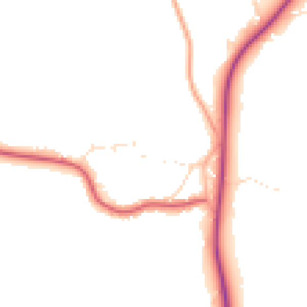
Daytime· 07:00 – 23:00
46.9dB
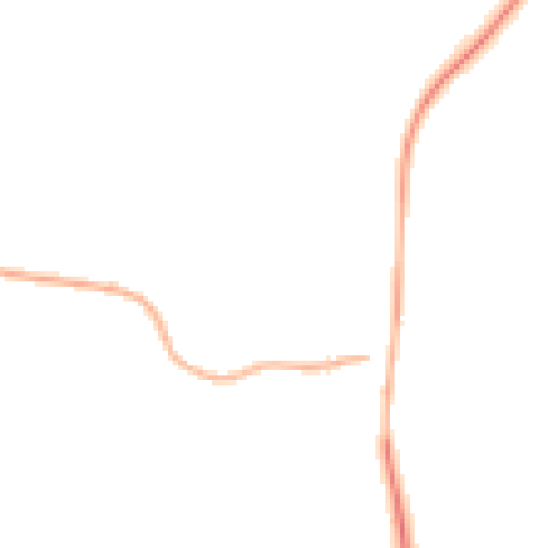
Night-time· 23:00 – 07:00
40.1dB