67 Malden Road, Cheltenham, GL52 2BT
About 67 Malden Road
67 Malden Road is a detached house in Cheltenham (GL52 2BT). It has a recorded floor area of 72 m² (around 775 sq ft), construction records dating it to before 1900 and council tax band D. The latest certificate (September 2021) shows a D (score 58), a step below the typical UK home. The recommended improvements would lift it to B (score 87), a 2-band jump.
At 72 m² it sits well below the postcode median (114 m² across 4 EPCs), making it one of the more compact homes locally. Across 2021–2023, sale prices on this property compounded at 5.8% per year. Today's modelled estimate of £388,000 is 12.5% above the 2023 sale price. On a £-per-square-foot basis, the last sale (£445/sq ft) was about 100% above the typical sold price in the postcode. Sold May 2023 for £345,000.
Everything you need to know about 67 Malden Road
The true value, the hidden risks and the full sale history, in one report.
30-day money-back guarantee

The data behind every report


Energy performance
Recommended upgrades on file would lift this property by multiple EPC bands.
EPC Rating
Planning history
67 Malden Road has no planning applications on record.
Notable planning nearby
2applications of note in the surrounding area
We flagged 1 thing worth checking at 67 Malden Road
Independent checks surfaced things a buyer would want to understand before offering. The report explains each one in full, with the underlying data and what to ask.
- Larger development activity nearby
30-day money-back guarantee
Sales history & valuation
67 Malden Road valuation sits well clear of the typical sold price in this postcode.
£388,000
Modelled from EPC, postcode comparables and a sale-price growth of 5.8% per year over 2 years.
£345,000
Growth on file: 5.8% per year over 2 years.
Sales timeline
11 May 2023Most recent
£345,000
+9.5%over 1 year29 September 2021
£315,000
Median price across the last 5 sales in GL52 2BT: £327,000 (2020–2009).
Versus other Malden Road homes
Price per m² for 67 Malden Road runs comfortably ahead of the street norm.
Price per m²
£4,792
Street avg £3,323
Floor Area
72 m²
Street avg 126 m²
Habitable Rooms
3 rooms
Street avg 5 rooms
CO₂ Emissions
4.0 t/year
Street avg 4.8 t/year
Everything you need to know about 67 Malden Road
The true value, the hidden risks and the full sale history, in one report.
30-day money-back guarantee
The data behind every report
Similar properties nearby
1 Fairview Street
GL52 2JH
1 Cordwainers Road
GL52 2DQ
1 Albert Place
GL52 2HP
1 Ariel Lodge Road
GL52 2TA
1 Garden Flat, 11 Pittville Lawn
GL52 2BE
1 All Saints Road
GL52 2EY
1 Gloucester Place
GL52 2RJ
1 Glenfall Street
GL52 2JA
The neighbourhood at a glance
Crime
3/mo
Steady year-on-year across the wider district.
Nearest stop
0.2 km
Pittville Lawn — bus stop.
Closest school
0.3 km
Dunalley Primary School. 19 schools nearby.
Go deeper on the local area
The full report breaks down crime, transport links, schools and air quality in depth.
Road noise across the postcode
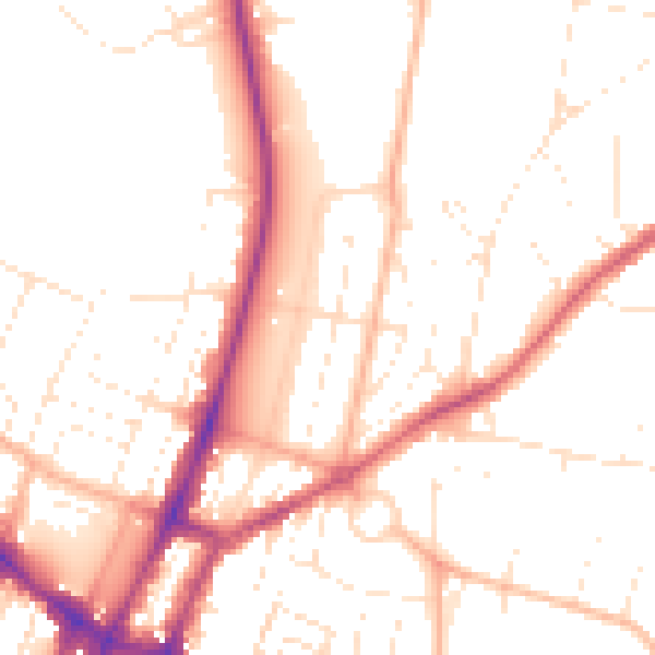
Daytime· 07:00 – 23:00
51.5dB

Night-time· 23:00 – 07:00
42.2dB