10 Barbridge Road, Cheltenham, GL51 0BX
About 10 Barbridge Road
10 Barbridge Road is a semi-detached house in Cheltenham (GL51 0BX). It has a recorded floor area of 76 m² (around 818 sq ft), construction records dating it to 1950-1966 and council tax band B. The latest certificate (August 2014) shows an E (score 48), well below the UK norm with real room to improve. The recommended improvements would lift it to C (score 74), a 2-band jump. The latest certificate is from August 2014, so improvements made since then won't be reflected.
On energy efficiency it sits in the bottom 10% of properties in this postcode — significant headroom for improvement. Across 2000–2014, sale prices on this property compounded at 5.5% per year. Today's modelled estimate of £238,000 sits 83.1% above the 2014 sale of £130,000. On a £-per-square-foot basis, the last sale (£159/sq ft) was about 16.5% above the typical sold price in the postcode. Last sold in December 2014, so it's been off the market for around 11 years.
Everything you need to know about 10 Barbridge Road
The true value, the hidden risks and the full sale history, in one report.
Pick your report · every report is £14.99
One time fee only - money back guarantee

The data behind every report


Energy performance
10 Barbridge Road sits at the bottom of the postcode for energy efficiency — meaningful headroom to improve.
EPC Expired
This certificate is over 10 years old and is no longer valid.Expired 29 Aug 2024
EPC Rating
Get a survey for this property
Level 2 HomeBuyer Report
We've checked 10 risk factors against the available data for this property and believe a Level 2 HomeBuyer Report could be a suitable option for you.
From £545 · Includes VAT
Planning history
10 Barbridge Road has no planning applications on record.
But the area is active
2 notable applications nearby — larger schemes and conversions that could reshape the street. The report maps them all.
Sales history & valuation
10 Barbridge Road has more than doubled in price since the earliest registered sale in 2000.
£238,000
Modelled from EPC, postcode comparables and a sale-price growth of 5.5% per year over 15 years.
£130,000
Growth on file: 5.5% per year over 15 years.
Sales timeline
12 December 2014Most recent
£130,000
+119.4%over 14 years30 March 2000
£59,250
Median price across the last 5 sales in GL51 0BX: £180,000 (2022–2015).
Nearby sales in GL51 0BX
36 Barbridge Road, Cheltenham, GL51 0BX
Sold May 2022
£235,00034 Barbridge Road, Cheltenham, GL51 0BX
Sold Nov 2021
£210,00032 Barbridge Road, Cheltenham, GL51 0BX
Sold May 2018
£180,00024 Barbridge Road, Cheltenham, GL51 0BX
Sold Jan 2016
£151,50020 Barbridge Road, Cheltenham, GL51 0BX
Sold Nov 2015
£162,000
Versus other Barbridge Road homes
10 Barbridge Road is notably below the street on epc rating.
Price per m²
£1,711
Street avg £1,976
Floor Area
76 m²
Street avg 65 m²
Habitable Rooms
5 rooms
Street avg 5 rooms
CO₂ Emissions
4.6 t/year
Street avg 2.4 t/year
Everything you need to know about 10 Barbridge Road
The true value, the hidden risks and the full sale history, in one report.
Pick your report · every report is £14.99
One time fee only - money back guarantee
The data behind every report
Similar properties nearby
The neighbourhood at a glance
Reported crime in the wider district is trending notably upward year-on-year.
Crime
4/mo
Rising year-on-year across the wider district.
Nearest stop
0.1 km
Bramley Road — bus stop.
Closest school
0.3 km
Pate's Grammar School. 19 schools nearby.
Go deeper on the local area
A Local Area report breaks down crime, transport links, schools and air quality in depth.
Road noise across the postcode
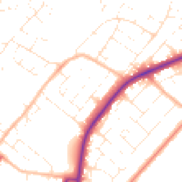
Daytime· 07:00 – 23:00
49.8dB

Night-time· 23:00 – 07:00
40.2dB