6 Beaufort Drive, Lydney, GL15 5QR
About 6 Beaufort Drive
6 Beaufort Drive is a three-bedroom detached house in Lydney (GL15 5QR). It has a recorded floor area of 77 m² (around 829 sq ft), construction records dating it to 1976-1982 and council tax band D. The latest certificate (March 2020) shows a D (score 67), on the cusp of jumping into the C band. The recommended improvements would lift it to B (score 87), a 2-band jump.
Today's modelled estimate of £300,000 is 20% above the 2021 sale price. On a £-per-square-foot basis, the last sale (£302/sq ft) was about 61.2% above the typical sold price in the postcode. Sold June 2021 for £249,999. That sale was during the post-pandemic price surge, when transactions cleared materially above pre-2020 trend.
What this property has
Inside
- Bedrooms3
- Bathrooms1
Outside
- Private gardenRear
- GarageYes
Building
- Heating systemGas
Everything you need to know about 6 Beaufort Drive
The true value, the hidden risks and the full sale history, in one report.
30-day money-back guarantee

The data behind every report


Energy performance
Recommended upgrades on file would lift this property by multiple EPC bands.
EPC Rating
Planning history
6 Beaufort Drive has no planning applications on record.
Notable planning nearby
1applications of note in the surrounding area
We flagged 1 thing worth checking at 6 Beaufort Drive
Independent checks surfaced things a buyer would want to understand before offering. The report explains each one in full, with the underlying data and what to ask.
- Larger development activity nearby
30-day money-back guarantee
Sales history & valuation
The latest sale landed in the post-pandemic price surge — useful context when reading the figure.
£300,000
Modelled from EPC, postcode comparables.
£249,999
Recorded with HM Land Registry.
Sales timeline
10 June 2021Most recent
£249,999
Median price across the last 5 sales in GL15 5QR: £235,000 (2024–2024).
Nearby sales in GL15 5QR
Versus other Beaufort Drive homes
On price per m², 6 Beaufort Drive stands well clear of the street.
Price per m²
£3,247
Street avg £2,465
Floor Area
77 m²
Street avg 99 m²
Habitable Rooms
4 rooms
Street avg 5 rooms
CO₂ Emissions
3.2 t/year
Street avg 3.8 t/year
Everything you need to know about 6 Beaufort Drive
The true value, the hidden risks and the full sale history, in one report.
30-day money-back guarantee
The data behind every report
Similar properties nearby
The neighbourhood at a glance
Rail-style transport is unusually close for this postcode.
Crime
2/mo
Steady year-on-year across the wider district.
Nearest stop
0.1 km
Orchard Road — bus stop.
Closest school
0.7 km
The Dean Academy. 5 schools nearby.
Go deeper on the local area
The full report breaks down crime, transport links, schools and air quality in depth.
Road noise across the postcode
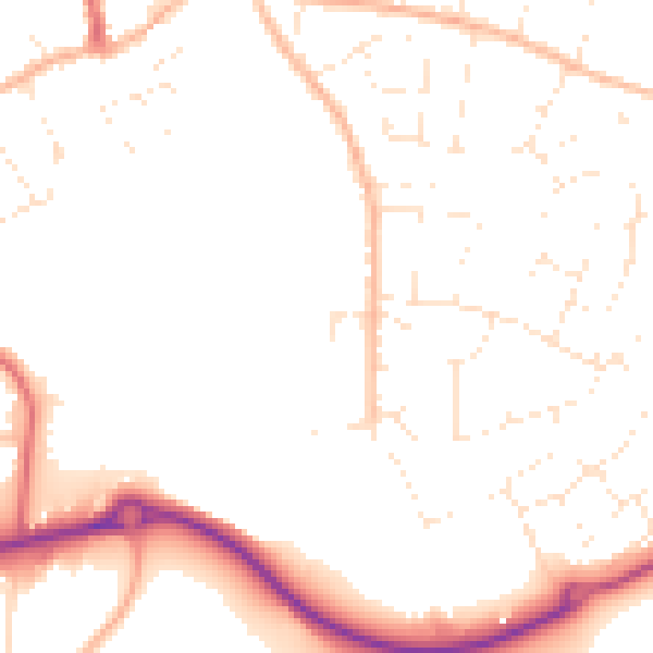
Daytime· 07:00 – 23:00
49.7dB

Night-time· 23:00 – 07:00
40.2dB