4 Beaufort Drive, Lydney, GL15 5QR
About 4 Beaufort Drive
4 Beaufort Drive is a three-bedroom detached house in Lydney (GL15 5QR). It has a recorded floor area of 82 m² (around 883 sq ft), construction records dating it to 1976-1982 and council tax band D. The property has an EV charger on record, all of which lower running costs and tend to lift resale appeal. The latest certificate (October 2022) shows a C (score 74). The recommended improvements would push it to B (score 88).
Across 2002–2023, sale prices on this property compounded at 4.4% per year. Today's modelled estimate of £318,000 is 15.2% above the 2023 sale price. On a £-per-square-foot basis, the last sale (£313/sq ft) was about 64.3% above the typical sold price in the postcode. Most recent transfer: September 2023 at £276,000.
What this property has
Inside
- Bedrooms3
- Bathrooms1
Outside
- GarageYes
Building
- EV chargerYes
- RefurbishedYes
Everything you need to know about 4 Beaufort Drive
The true value, the hidden risks and the full sale history, in one report.
30-day money-back guarantee

The data behind every report


Energy performance
EPC Rating
Planning history
4 Beaufort Drive has no planning applications on record.
Notable planning nearby
1applications of note in the surrounding area
We flagged 1 thing worth checking at 4 Beaufort Drive
Independent checks surfaced things a buyer would want to understand before offering. The report explains each one in full, with the underlying data and what to ask.
- Larger development activity nearby
30-day money-back guarantee
Sales history & valuation
Sale price has at least doubled since 2002.
£318,000
Modelled from EPC, postcode comparables and a sale-price growth of 4.4% per year over 21 years.
£276,000
Growth on file: 4.4% per year over 21 years.
Sales timeline
13 September 2023Most recent
£276,000
+148.6%over 21 years30 May 2002
£111,000
Median price across the last 5 sales in GL15 5QR: £235,000 (2024–2024).
Nearby sales in GL15 5QR
Versus other Beaufort Drive homes
EPC Rating for 4 Beaufort Drive runs comfortably ahead of the street norm.
Price per m²
£3,366
Street avg £2,460
Floor Area
82 m²
Street avg 98 m²
Habitable Rooms
4 rooms
Street avg 5 rooms
CO₂ Emissions
2.4 t/year
Street avg 3.8 t/year
Everything you need to know about 4 Beaufort Drive
The true value, the hidden risks and the full sale history, in one report.
30-day money-back guarantee
The data behind every report
Similar properties nearby
The neighbourhood at a glance
Rail-style transport is unusually close for this postcode.
Crime
2/mo
Steady year-on-year across the wider district.
Nearest stop
0.1 km
Orchard Road — bus stop.
Closest school
0.7 km
The Dean Academy. 5 schools nearby.
Go deeper on the local area
The full report breaks down crime, transport links, schools and air quality in depth.
Road noise across the postcode
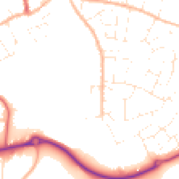
Daytime· 07:00 – 23:00
49.7dB

Night-time· 23:00 – 07:00
40.2dB