3 Barnett Way, Lydney, GL15 5FS
About 3 Barnett Way
3 Barnett Way is a four-bedroom detached house in Lydney (GL15 5FS). It has a recorded floor area of 110 m² (around 1184 sq ft). The latest certificate (September 2020) returns a B (score 84), comfortably above the UK average. The recommended improvements would push it to A (score 94).
At 110 m² it's 17% larger than the typical home in the postcode (94 m² median across 46 EPCs). Today's modelled estimate of £345,000 is 21.1% above the 2020 sale price. Sold October 2020 for £284,995.
What this property has
Inside
- Bedrooms4
- Bathrooms3
- Dining roomYes
- Utility roomYes
- EnsuiteYes
Outside
- Private gardenYes
- GarageYes
Everything you need to know about 3 Barnett Way
The true value, the hidden risks and the full sale history, in one report.
30-day money-back guarantee

The data behind every report


Energy performance
EPC Rating
Planning history
3 Barnett Way has no planning applications on record.
Notable planning nearby
1applications of note in the surrounding area
We flagged 1 thing worth checking at 3 Barnett Way
Independent checks surfaced things a buyer would want to understand before offering. The report explains each one in full, with the underlying data and what to ask.
- Larger development activity nearby
30-day money-back guarantee
Sales history & valuation
The latest sale landed in the post-pandemic price surge — useful context when reading the figure.
£345,000
Modelled from EPC, postcode comparables.
£284,995
Recorded with HM Land Registry.
Sales timeline
30 October 2020Most recent
£284,995
Median price across the last 5 sales in GL15 5FS: £285,000 (2025–2021).
Versus other Barnett Way homes
On years held, 3 Barnett Way runs well behind the street norm.
Price per m²
£2,591
Street avg £2,557
Floor Area
110 m²
Street avg 98 m²
CO₂ Emissions
1.6 t/year
Street avg 1.3 t/year
Years Held
6 years
Street avg 6 years
Everything you need to know about 3 Barnett Way
The true value, the hidden risks and the full sale history, in one report.
30-day money-back guarantee
The data behind every report
Similar properties nearby
1 Bishops Gate
GL15 5TG
1 Beauchamp Meadow
GL15 5NS
1 Alexandra Court, The Orchards
GL15 5JZ
1 Bayliss Close
GL15 5FW
1 Bracken Close
GL15 5AH
1 Bledisloe Way
GL15 5GF
1 Augustus Way
GL15 5NJ
1 Caesars Close
GL15 5NR
The neighbourhood at a glance
Daytime road noise here sits well below conversation level — a quiet pocket of the postcode.
Crime
2/mo
Steady year-on-year across the wider district.
Nearest stop
0.3 km
Centurion Road — bus stop.
Closest school
0.5 km
Severnbanks Primary School. 4 schools nearby.
Go deeper on the local area
The full report breaks down crime, transport links, schools and air quality in depth.
Road noise across the postcode
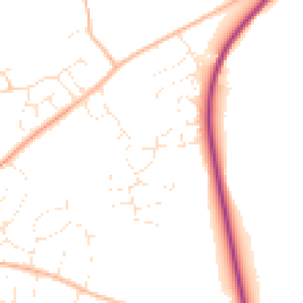
Daytime· 07:00 – 23:00
48.6dB

Night-time· 23:00 – 07:00
39.9dB