47 Barnett Way, Lydney, GL15 5FS
About 47 Barnett Way
47 Barnett Way is a three-bedroom end-of-terrace house in Lydney (GL15 5FS). It has a recorded floor area of 76 m² (around 818 sq ft). The latest certificate (March 2019) returns a B (score 83), comfortably above the UK average. The recommended improvements would push it to A (score 96).
Across 2019–2023, sale prices on this property compounded at 4.7% per year. On a £-per-square-foot basis, the last sale (£306/sq ft) was about 27% above the typical sold price in the postcode. At 76 m² it's 19.1% smaller than the typical home in the postcode (94 m² median across 46 EPCs). Most recent transfer: April 2023 at £250,000.
What this property has
Inside
- Bedrooms3
- Bathrooms2
Outside
- Private gardenRear
- ParkingOff road
Everything you need to know about 47 Barnett Way
The true value, the hidden risks and the full sale history, in one report.
30-day money-back guarantee

The data behind every report


Energy performance
47 Barnett Way's carbon output is low for the local stock.
EPC Rating
Planning history
47 Barnett Way has no planning applications on record.
Notable planning nearby
1applications of note in the surrounding area
We flagged 1 thing worth checking at 47 Barnett Way
Independent checks surfaced things a buyer would want to understand before offering. The report explains each one in full, with the underlying data and what to ask.
- Larger development activity nearby
30-day money-back guarantee
Sales history & valuation
£269,000
Modelled from EPC, postcode comparables and a sale-price growth of 4.7% per year over 4 years.
£250,000
Growth on file: 4.7% per year over 4 years.
Sales timeline
23 April 2023Most recent
£250,000
+20.2%over 4 years22 April 2019
£207,995
Median price across the last 5 sales in GL15 5FS: £285,000 (2025–2021).
Versus other Barnett Way homes
47 Barnett Way outperforms the street on price per m² by a wide margin.
Price per m²
£3,289
Street avg £2,539
Floor Area
76 m²
Street avg 99 m²
CO₂ Emissions
1.2 t/year
Street avg 1.3 t/year
Years Held
3 years
Street avg 6 years
Everything you need to know about 47 Barnett Way
The true value, the hidden risks and the full sale history, in one report.
30-day money-back guarantee
The data behind every report
Similar properties nearby
The neighbourhood at a glance
Daytime road noise here sits well below conversation level — a quiet pocket of the postcode.
Crime
2/mo
Steady year-on-year across the wider district.
Nearest stop
0.3 km
Centurion Road — bus stop.
Closest school
0.5 km
Severnbanks Primary School. 4 schools nearby.
Go deeper on the local area
The full report breaks down crime, transport links, schools and air quality in depth.
Road noise across the postcode
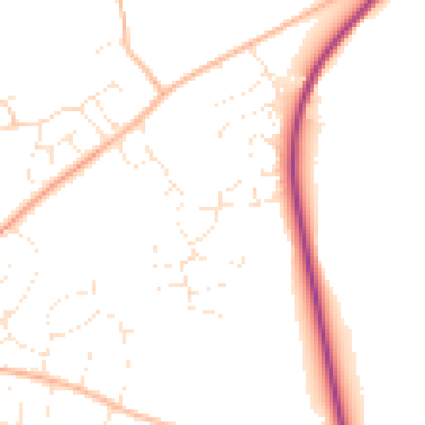
Daytime· 07:00 – 23:00
48.6dB

Night-time· 23:00 – 07:00
39.9dB