2 De La Rue Way, Exeter, EX4 8PX
About 2 De La Rue Way
2 De La Rue Way is a three-bedroom semi-detached house in Exeter (EX4 8PX). It has a recorded floor area of 147 m² (around 1579 sq ft), construction records dating it to 1930-1949 and council tax band C. The latest certificate (October 2008) shows a C (score 71). The latest certificate is from October 2008, so improvements made since then won't be reflected.
Untraded for 17 years, with the last transfer in June 2009. That sale fell during the post-crash dip, which often skews comparisons against later neighbouring sales. Today's modelled estimate of £323,000 sits 84.6% above the 2009 sale of £175,000.
Know exactly what you're buying at 2 De La Rue Way
Before you offer, see what the listing won't tell you, the true value, the red flags and the full history.
Already flagged here
Valuation
against the asking price
Risks
planning & flood
Sold prices
similar homes nearby
Trends
the local market
What this property has
Inside
- Bedrooms3
Energy performance
2 De La Rue Way's EPC is over a decade old — improvements since won't be reflected.
EPC Expired
This certificate is over 10 years old and is no longer valid.Expired 13 Oct 2018
EPC Rating
Planning history
2 De La Rue Way has no planning applications on record.
Notable planning nearby
3applications of note in the surrounding area
We flagged 1 thing worth checking at 2 De La Rue Way
Independent checks surfaced things a buyer would want to understand before offering. The report explains each one in full, with the underlying data and what to ask.
- Larger development activity nearby
30-day money-back guarantee
Sales history & valuation
The latest sale fell during the post-2008 dip, often a low-water mark in price comparisons.
£323,000
Modelled from EPC, postcode comparables.
£175,000
Recorded with HM Land Registry.
Sales timeline
3 June 2009Most recent
£175,000
Median price across the last 4 sales in EX4 8PX: £229,500 (2025–2002).
Everything we know about 2 De La Rue Way, in one report
What it's really worth, what could be wrong, and the planning, sales and area data in full.
What we flagged
- Larger development activity nearby

Similar properties nearby
The neighbourhood at a glance
Rail-style transport is unusually close for this postcode.
Crime
12/mo
Steady year-on-year across the wider district.
Nearest stop
0.1 km
Bradfield Road — bus stop.
Closest school
0.3 km
Pinhoe Church of England Primary School & Nursery. 17 schools nearby.
Go deeper on the local area
The full report breaks down crime, transport links, schools and air quality in depth.
Road noise across the postcode
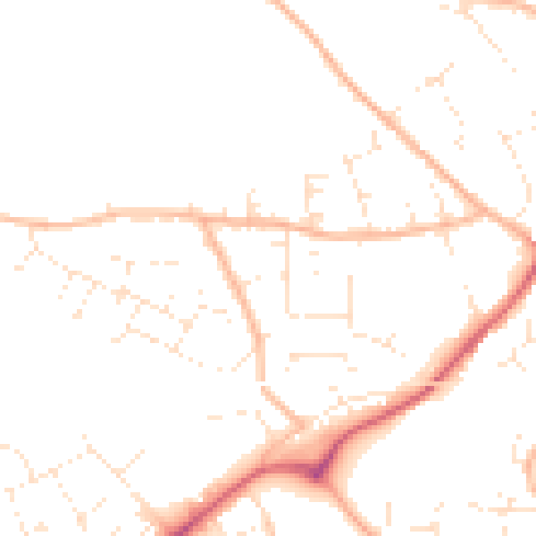
Daytime· 07:00 – 23:00
48.1dB

Night-time· 23:00 – 07:00
38.5dB