520a, Hertford Road, Enfield, EN3 5SS
About 520a
520a is a two-bedroom end-of-terrace house in Enfield (EN3 5SS). It has a recorded floor area of 75 m² (around 807 sq ft), construction records dating it to 1976-1982 and council tax band C. At 75 m² this is the 19th smallest of 22 units on EPC record in the building, where floor areas span 16–93 m². The building's EPC ratings span E to C, with this unit at the top. Other recorded features include a balcony. The latest certificate (March 2019) shows a C (score 72).
Its energy rating outperforms most of the postcode (better than 76% of similar EPCs). Across 2008–2019, sale prices on this property compounded at 4.8% per year. Today's modelled estimate of £283,000 is 23.6% above the 2019 sale price. On a £-per-square-foot basis, the last sale (£284/sq ft) was about 50.5% above the typical sold price in the postcode. Most recent transfer: November 2019 at £229,000.
What this property has
Inside
- Bedrooms2
- Bathrooms1
- Dining roomYes
Outside
- Private gardenRear
- BalconyYes
Building
- Central heatingYes
Everything you need to know about 520a
The true value, the hidden risks and the full sale history, in one report.
30-day money-back guarantee

The data behind every report


Energy performance
EPC Rating
Planning history
520a has no planning applications on record.
Notable planning nearby
24applications of note in the surrounding area
We flagged 2 things worth checking at 520a
Independent checks surfaced things a buyer would want to understand before offering. The report explains each one in full, with the underlying data and what to ask.
- Signs of HMO activity in the area
- Larger development activity nearby
30-day money-back guarantee
Sales history & valuation
Latest sale on 520a was the highest on Land Registry record across the postcode.
£283,000
Modelled from EPC, postcode comparables and a sale-price growth of 4.8% per year over 11 years.
£229,000
Growth on file: 4.8% per year over 11 years.
Sales timeline
12 November 2019Most recent
£229,000
+67.2%over 11 years23 October 2008
£137,000
Median price across the last 5 sales in EN3 5SS: £140,000 (2006–2001).
Nearby sales in EN3 5SS
Versus other Hertford Road homes
On years held, 520a runs well behind the street norm.
Price per m²
£3,053
Street avg £1,937
Floor Area
75 m²
Street avg 48 m²
Habitable Rooms
4 rooms
Street avg 2 rooms
CO₂ Emissions
2.4 t/year
Street avg 2.2 t/year
Everything you need to know about 520a
The true value, the hidden risks and the full sale history, in one report.
30-day money-back guarantee
The data behind every report
Similar properties nearby
The neighbourhood at a glance
Rail-style transport is unusually close for this postcode.
Crime
8/mo
Rising year-on-year across the wider district.
Nearest stop
0.1 km
Albany Leisure Centre — bus stop.
Closest school
0.3 km
Eastfield Primary School. 41 schools nearby.
Go deeper on the local area
The full report breaks down crime, transport links, schools and air quality in depth.
Road noise across the postcode
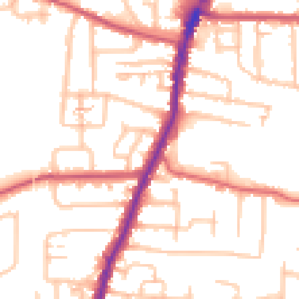
Daytime· 07:00 – 23:00
52.3dB

Night-time· 23:00 – 07:00
42.5dB