10 The Loning, Enfield, EN3 5RE
About 10 The Loning
10 The Loning is a mid-terrace house in Enfield (EN3 5RE). It has a recorded floor area of 72 m² (around 775 sq ft), construction records dating it to 1930-1949 and council tax band C. The latest certificate (November 2016) shows an E (score 39), well below the UK norm with real room to improve. The recommended improvements would lift it to B (score 90), a 3-band jump. Main heating runs on electricity.
It lags the bulk of the postcode on energy efficiency (less efficient than 75% of similar EPCs). Across 2017–2022, sale prices on this property compounded at 8.6% per year. On a £-per-square-foot basis, the last sale (£581/sq ft) was about 170.9% above the typical sold price in the postcode. Most recent transfer: June 2022 at £450,000. That sale was during the post-pandemic price surge, when transactions cleared materially above pre-2020 trend.
Everything you need to know about 10 The Loning
The true value, the hidden risks and the full sale history, in one report.
30-day money-back guarantee

The data behind every report


Energy performance
10 The Loning's carbon output runs well above what efficient homes in the postcode produce.
EPC Rating
Planning history
10 The Loning has no planning applications on record.
Notable planning nearby
24applications of note in the surrounding area
We flagged 2 things worth checking at 10 The Loning
Independent checks surfaced things a buyer would want to understand before offering. The report explains each one in full, with the underlying data and what to ask.
- Signs of HMO activity in the area
- Larger development activity nearby
30-day money-back guarantee
Sales history & valuation
Latest sale on 10 The Loning was the highest on Land Registry record across the postcode.
£439,000
Modelled from EPC, postcode comparables and a sale-price growth of 8.6% per year over 5 years.
£450,000
Growth on file: 8.6% per year over 5 years.
Sales timeline
26 June 2022Most recent
£450,000
+25.0%over 4 years31 October 2017
£360,000
+20.0%26 July 2017
£300,000
Median price across the last 5 sales in EN3 5RE: £400,000 (2022–2016).
Versus other The Loning homes
Years Held for 10 The Loning lags the street by a wide margin.
Price per m²
£6,250
Street avg £3,347
Floor Area
72 m²
Street avg 81 m²
Habitable Rooms
5 rooms
Street avg 5 rooms
CO₂ Emissions
6.8 t/year
Street avg 4.0 t/year
Everything you need to know about 10 The Loning
The true value, the hidden risks and the full sale history, in one report.
30-day money-back guarantee
The data behind every report
Similar properties nearby
The neighbourhood at a glance
Rail-style transport is unusually close for this postcode.
Crime
8/mo
Rising year-on-year across the wider district.
Nearest stop
0.3 km
Albany Leisure Centre — bus stop.
Closest school
0.5 km
Enfield Heights Academy. 42 schools nearby.
Go deeper on the local area
The full report breaks down crime, transport links, schools and air quality in depth.
Road noise across the postcode
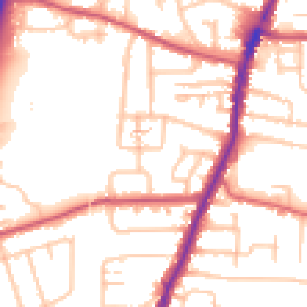
Daytime· 07:00 – 23:00
53.2dB

Night-time· 23:00 – 07:00
43.4dB