5 Crest Drive, Enfield, EN3 5QD
About 5 Crest Drive
5 Crest Drive is a mid-terrace house in Enfield (EN3 5QD). It has a recorded floor area of 55 m² (around 592 sq ft), construction records dating it to 1930-1949 and council tax band C. The latest certificate (February 2024) shows an E (score 42), well below the UK norm with real room to improve. The recommended improvements would lift it to C (score 75), a 2-band jump. Main heating runs on electricity.
At 55 m² it's 19.1% smaller than the typical home in the postcode (68 m² median across 41 EPCs). On energy efficiency it sits in the bottom 10% of properties in this postcode — significant headroom for improvement. Across 2024–2024, sale prices on this property compounded at 9.6% per year. Today's modelled estimate of £222,000 sits 62% above the 2024 sale of £137,000. Most recent transfer: August 2024 at £137,000.
Everything you need to know about 5 Crest Drive
The true value, the hidden risks and the full sale history, in one report.
30-day money-back guarantee

The data behind every report


Energy performance
5 Crest Drive sits at the bottom of the postcode for energy efficiency — meaningful headroom to improve.
EPC Rating
Planning history
5 Crest Drive has no planning applications on record.
Notable planning nearby
24applications of note in the surrounding area
We flagged 2 things worth checking at 5 Crest Drive
Independent checks surfaced things a buyer would want to understand before offering. The report explains each one in full, with the underlying data and what to ask.
- Signs of HMO activity in the area
- Larger development activity nearby
30-day money-back guarantee
Sales history & valuation
5 Crest Drive changed hands twice within eighteen months — unusual for the area.
£222,000
Modelled from EPC, postcode comparables and a sale-price growth of 9.6% per year over 1 year.
£137,000
Growth on file: 9.6% per year over 1 year.
Sales timeline
27 August 2024Most recent
£137,000
+9.6%17 July 2024
£125,000
Median price across the last 5 sales in EN3 5QD: £410,000 (2023–2019).
Versus other Crest Drive homes
On years held, 5 Crest Drive runs well behind the street norm.
Price per m²
£2,491
Street avg £3,115
Floor Area
55 m²
Street avg 55 m²
Habitable Rooms
3 rooms
Street avg 3 rooms
CO₂ Emissions
3.4 t/year
Street avg 2.4 t/year
Everything you need to know about 5 Crest Drive
The true value, the hidden risks and the full sale history, in one report.
30-day money-back guarantee
The data behind every report
Similar properties nearby
The neighbourhood at a glance
Rail-style transport is unusually close for this postcode.
Crime
8/mo
Rising year-on-year across the wider district.
Nearest stop
0.1 km
Ingersoll Road — bus stop.
Closest school
0.2 km
Enfield Heights Academy. 43 schools nearby.
Go deeper on the local area
The full report breaks down crime, transport links, schools and air quality in depth.
Road noise across the postcode
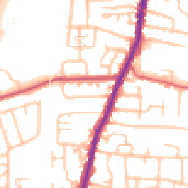
Daytime· 07:00 – 23:00
51.9dB

Night-time· 23:00 – 07:00
41.9dB