13 Eagle Close, Enfield, EN3 4RS
About 13 Eagle Close
13 Eagle Close is a two-bedroom end-of-terrace house in Enfield (EN3 4RS). It has a recorded floor area of 51 m² (around 549 sq ft), construction records dating it to 1950-1966 and council tax band C. The latest certificate (October 2020) shows a C (score 71). When first surveyed in October 2010 the rating was D, the property has climbed 1 band since. Between certificates, roof efficiency went from Good to Very Good, hot-water efficiency went from Average to Good and lighting went from Poor to Good.
Across 1996–2011, sale prices on this property compounded at 9.1% per year. Today's modelled estimate of £290,000 sits 73.1% above the 2011 sale of £167,500. 15 years since the last transfer (June 2011).
What this property has
Inside
- Bedrooms2
- Bathrooms1
Everything you need to know about 13 Eagle Close
The true value, the hidden risks and the full sale history, in one report.
30-day money-back guarantee

The data behind every report


Energy performance
EPC Rating
Property Improvements
Changes detected from historical EPC data
Hot water efficiency improved
Loft insulation upgraded to recommended levels
More low energy lighting installed
Planning history
13 Eagle Close has no planning applications on record.
Notable planning nearby
39applications of note in the surrounding area
We flagged 1 thing worth checking at 13 Eagle Close
Independent checks surfaced things a buyer would want to understand before offering. The report explains each one in full, with the underlying data and what to ask.
- Signs of HMO activity in the area
30-day money-back guarantee
Sales history & valuation
Sale price has grown by over 3x since 1996.
£290,000
Modelled from EPC, postcode comparables and a sale-price growth of 9.1% per year over 15 years.
£167,500
Growth on file: 9.1% per year over 15 years.
Sales timeline
27 June 2011Most recent
£167,500
+272.2%over 15 years9 June 1996
£45,000
Median price across the last 5 sales in EN3 4RS: £295,000 (2025–2018).
Versus other Eagle Close homes
On epc rating, 13 Eagle Close stands well clear of the street.
Price per m²
£3,284
Street avg £3,793
Floor Area
51 m²
Street avg 53 m²
Habitable Rooms
3 rooms
Street avg 3 rooms
CO₂ Emissions
1.9 t/year
Street avg 2.5 t/year
Everything you need to know about 13 Eagle Close
The true value, the hidden risks and the full sale history, in one report.
30-day money-back guarantee
The data behind every report
Similar properties nearby
The neighbourhood at a glance
Rail-style transport is unusually close for this postcode.
Crime
8/mo
Rising year-on-year across the wider district.
Nearest stop
0.1 km
Ponders End High Street — bus stop.
Closest school
0.4 km
Southbury Primary School. 47 schools nearby.
Go deeper on the local area
The full report breaks down crime, transport links, schools and air quality in depth.
Road noise across the postcode
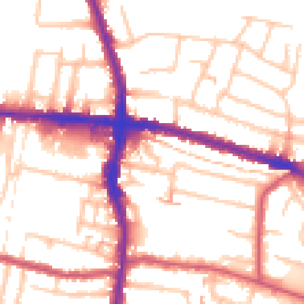
Daytime· 07:00 – 23:00
54.2dB
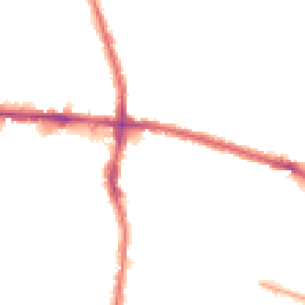
Night-time· 23:00 – 07:00
43.5dB