25 Eagle Close, Enfield, EN3 4RS
About 25 Eagle Close
25 Eagle Close is a two-bedroom semi-detached house in Enfield (EN3 4RS). It has a recorded floor area of 50 m² (around 538 sq ft), construction records dating it to 1967-1975 and council tax band C. At 50 m² this is the 4th smallest of 46 units on EPC record in the building, where floor areas span 41–84 m². The building's EPC ratings span E to C across 46 units on file. The home occupies a cul-de-sac position. The latest certificate (March 2025) shows a D (score 65), on the cusp of jumping into the C band. The recommended improvements would push it to C (score 76).
A recent sale: £295,000 in May 2025. On a £-per-square-foot basis, the last sale (£548/sq ft) was about 105.7% above the typical sold price in the postcode.
What this property has
Inside
- Bedrooms2
- Bathrooms1
- Dining roomYes
Outside
- Private gardenRear
- Cul-de-sacYes
Everything you need to know about 25 Eagle Close
The true value, the hidden risks and the full sale history, in one report.
30-day money-back guarantee

The data behind every report


Energy performance
EPC Rating
Planning history
25 Eagle Close has no planning applications on record.
Notable planning nearby
39applications of note in the surrounding area
We flagged 1 thing worth checking at 25 Eagle Close
Independent checks surfaced things a buyer would want to understand before offering. The report explains each one in full, with the underlying data and what to ask.
- Signs of HMO activity in the area
30-day money-back guarantee
Sales history & valuation
25 Eagle Close valuation sits well clear of the typical sold price in this postcode.
£318,000
Modelled from EPC, postcode comparables.
£295,000
Recorded with HM Land Registry.
Sales timeline
22 May 2025Most recent
£295,000
Median price across the last 5 sales in EN3 4RS: £287,000 (2022–2018).
Versus other Eagle Close homes
On price per m², 25 Eagle Close stands well clear of the street.
Price per m²
£5,900
Street avg £3,716
Floor Area
50 m²
Street avg 53 m²
Habitable Rooms
4 rooms
Street avg 3 rooms
CO₂ Emissions
2.2 t/year
Street avg 2.5 t/year
Everything you need to know about 25 Eagle Close
The true value, the hidden risks and the full sale history, in one report.
30-day money-back guarantee
The data behind every report
Similar properties nearby
The neighbourhood at a glance
Rail-style transport is unusually close for this postcode.
Crime
8/mo
Rising year-on-year across the wider district.
Nearest stop
0.1 km
Ponders End High Street — bus stop.
Closest school
0.4 km
Southbury Primary School. 47 schools nearby.
Go deeper on the local area
The full report breaks down crime, transport links, schools and air quality in depth.
Road noise across the postcode
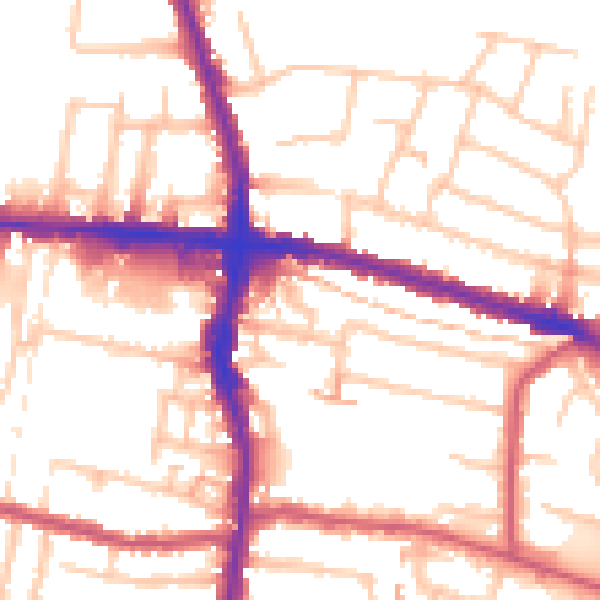
Daytime· 07:00 – 23:00
54.2dB

Night-time· 23:00 – 07:00
43.5dB