18 Anglesey Road, Enfield, EN3 4HY
About 18 Anglesey Road
18 Anglesey Road is a three-bedroom semi-detached house in Enfield (EN3 4HY). It has a recorded floor area of 71 m² (around 765 sq ft), construction records dating it to 1930-1949 and council tax band C. The latest certificate (February 2011) shows a D (score 58), a step below the typical UK home. The latest certificate is from February 2011, so improvements made since then won't be reflected.
Across 2002–2015, sale prices on this property compounded at 5.3% per year. Today's modelled estimate of £431,000 is 48.6% above the 2015 sale price. On a £-per-square-foot basis, the last sale (£379/sq ft) was about 59% above the typical sold price in the postcode. On the market in March 2015 and unlisted since — roughly 11 years.
What this property has
Inside
- Bedrooms3
- Bathrooms1
Everything you need to know about 18 Anglesey Road
The true value, the hidden risks and the full sale history, in one report.
30-day money-back guarantee

The data behind every report


Energy performance
18 Anglesey Road's EPC is over a decade old — improvements since won't be reflected.
EPC Expired
This certificate is over 10 years old and is no longer valid.Expired 28 Feb 2021
EPC Rating
Planning history
18 Anglesey Road has no planning applications on record.
Notable planning nearby
39applications of note in the surrounding area
We flagged 1 thing worth checking at 18 Anglesey Road
Independent checks surfaced things a buyer would want to understand before offering. The report explains each one in full, with the underlying data and what to ask.
- Signs of HMO activity in the area
30-day money-back guarantee
Sales history & valuation
18 Anglesey Road valuation sits well clear of the typical sold price in this postcode.
£431,000
Modelled from EPC, postcode comparables and a sale-price growth of 5.3% per year over 13 years.
£290,000
Growth on file: 5.3% per year over 13 years.
Sales timeline
19 March 2015Most recent
£290,000
+28.0%over 7 years21 February 2008
£226,500
+50.0%over 5 years22 August 2002
£151,000
Median price across the last 5 sales in EN3 4HY: £242,000 (2024–2006).
Versus other Anglesey Road homes
18 Anglesey Road is notably below the street on floor area.
Price per m²
£4,082
Street avg £3,701
Floor Area
71 m²
Street avg 76 m²
Habitable Rooms
4 rooms
Street avg 5 rooms
CO₂ Emissions
4.3 t/year
Street avg 3.9 t/year
Everything you need to know about 18 Anglesey Road
The true value, the hidden risks and the full sale history, in one report.
30-day money-back guarantee
The data behind every report
Similar properties nearby
The neighbourhood at a glance
Rail-style transport is unusually close for this postcode.
Crime
8/mo
Rising year-on-year across the wider district.
Nearest stop
0.0 km
Enfield Bus Garage / Southbury Station — bus stop.
Closest school
0.2 km
Southbury Primary School. 48 schools nearby.
Go deeper on the local area
The full report breaks down crime, transport links, schools and air quality in depth.
Road noise across the postcode
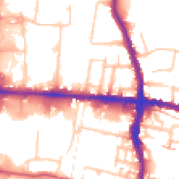
Daytime· 07:00 – 23:00
54.0dB

Night-time· 23:00 – 07:00
44.2dB