11 Anglesey Road, Enfield, EN3 4HY
About 11 Anglesey Road
11 Anglesey Road is a mid-terrace house in Enfield (EN3 4HY). It has a recorded floor area of 65 m² (around 700 sq ft), construction records dating it to 1950-1966 and council tax band C. The latest certificate (February 2024) shows a C (score 71). When first surveyed in March 2009 the rating was D, the property has climbed 1 band since. Between certificates, lighting went from Average to Very Good.
Held since July 2002 — that's 24 years off the open market, well above the local norm. Today's modelled estimate of £300,000 sits 187.1% above the 2002 sale of £104,500. On a £-per-square-foot basis, the last sale (£149/sq ft) was about 45.8% below the postcode norm. One planning record on file: new windows approved in 2013. Past consents include new windows, meaningful when judging how the property has evolved.
Everything you need to know about 11 Anglesey Road
The true value, the hidden risks and the full sale history, in one report.
30-day money-back guarantee

The data behind every report


Energy performance
EPC Rating
Property Improvements
Changes detected from historical EPC data
More low energy lighting installed
Planning history
- Apr 2013RenovationIn report
Replacement windows and doors to all elevations and cladding to front elevation.
New Windows- Documents
- 4 docs on file
- Reference
- P13-00591PLA
We flagged 1 thing worth checking at 11 Anglesey Road
Independent checks surfaced things a buyer would want to understand before offering. The report explains each one in full, with the underlying data and what to ask.
- Signs of HMO activity in the area
30-day money-back guarantee
Sales history & valuation
11 Anglesey Road valuation sits well clear of the typical sold price in this postcode.
£300,000
Modelled from EPC, postcode comparables.
£104,500
Recorded with HM Land Registry.
Sales timeline
23 July 2002Most recent
£104,500
Median price across the last 5 sales in EN3 4HY: £276,500 (2024–2011).
Versus other Anglesey Road homes
EPC Rating
71 (C)
Street avg 72 (C)
Floor Area
65 m²
Street avg 64 m²
CO₂ Emissions
2.2 t/year
Street avg 2.2 t/year
Habitable Rooms
4 rooms
Street avg 4 rooms
Everything you need to know about 11 Anglesey Road
The true value, the hidden risks and the full sale history, in one report.
30-day money-back guarantee
The data behind every report
Similar properties nearby
The neighbourhood at a glance
Rail-style transport is unusually close for this postcode.
Crime
8/mo
Rising year-on-year across the wider district.
Nearest stop
0.0 km
Enfield Bus Garage / Southbury Station — bus stop.
Closest school
0.2 km
Southbury Primary School. 48 schools nearby.
Go deeper on the local area
The full report breaks down crime, transport links, schools and air quality in depth.
Road noise across the postcode
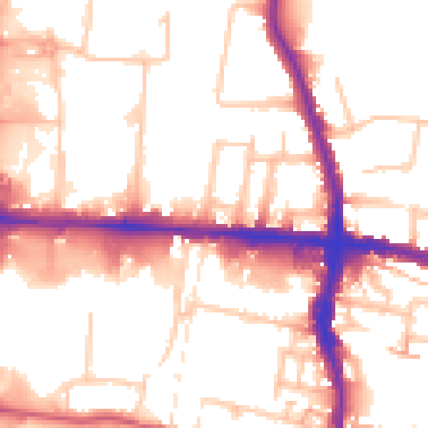
Daytime· 07:00 – 23:00
54.0dB

Night-time· 23:00 – 07:00
44.2dB