Flat 5, 318 High Street, Enfield, EN3 4HF
About Flat 5
Flat 5 is a detached house in Enfield (EN3 4HF). It has a recorded floor area of 21 m² (around 226 sq ft) and construction records dating it to 1930-1949. At 21 m² this is the smallest unit on EPC record across the building (21–50 m²). The building's EPC ratings span D to C, with this unit at the bottom. The latest certificate (October 2019) shows a D (score 64), on the cusp of jumping into the C band. The recommended improvements would push it to C (score 77). Main heating runs on electricity.
At 21 m² it sits well below the postcode median (42 m² across 16 EPCs), making it one of the more compact homes locally. One planning record on file: subdivision approved in 2004. Past consents include subdivision, meaningful when judging how the property has evolved.
Everything you need to know about Flat 5
The true value, the hidden risks and the full sale history, in one report.
30-day money-back guarantee

The data behind every report


Energy performance
Flat 5's carbon output is low for the local stock.
EPC Rating
Planning history
Council records show a subdivision application — the property's legal arrangement has been altered.
- Oct 2004SubdivisionFullIn report
Conversion of 1st and 2nd floors into 10 self contained flats (comprising 9x1-bed, 1-bedist) - (Revised Scheme).
- Reference
- TP/04/1660
We flagged 1 thing worth checking at Flat 5
Independent checks surfaced things a buyer would want to understand before offering. The report explains each one in full, with the underlying data and what to ask.
- Signs of HMO activity in the area
30-day money-back guarantee
Sales history & valuation
Flat 5 has no Land Registry sales on file, suggesting it has stayed in the same hands since registration began.
£229,000
Modelled from EPC, postcode comparables.
No sales recorded with HM Land Registry
That can mean the property has never traded since the registry began publishing in 1995, was a new build that hasn't been registered yet, or is held in the same hands long-term.
Median price across the last 3 sales in EN3 4HF: £120,000 (2006–1999).
Versus other High Street homes
On co₂ emissions, Flat 5 stands well clear of the street.
EPC Rating
64 (D)
Street avg 65 (D)
Floor Area
21 m²
Street avg 37 m²
CO₂ Emissions
1.4 t/year
Street avg 1.9 t/year
Habitable Rooms
1 rooms
Street avg 2 rooms
Everything you need to know about Flat 5
The true value, the hidden risks and the full sale history, in one report.
30-day money-back guarantee
The data behind every report
Similar properties nearby
310a, Flat 2, High Street
EN3 4HF
310a, Flat 5, High Street
EN3 4HF
310a, Flat 1, High Street
EN3 4HF
310a, Flat 4, High Street
EN3 4HF
310a, Flat 3, High Street
EN3 4HF
Ambrose Court, Flat 13, 1 Swan Walk
EN3 4GX
Ambrose Court, Flat 14, 1 Swan Walk
EN3 4GX
Ambrose Court, Flat 17, 1 Swan Walk
EN3 4GX
The neighbourhood at a glance
Rail-style transport is unusually close for this postcode.
Crime
8/mo
Rising year-on-year across the wider district.
Nearest stop
0.1 km
Southbury Road Ponders End — bus stop.
Closest school
0.2 km
Southbury Primary School. 48 schools nearby.
Go deeper on the local area
The full report breaks down crime, transport links, schools and air quality in depth.
Road noise across the postcode
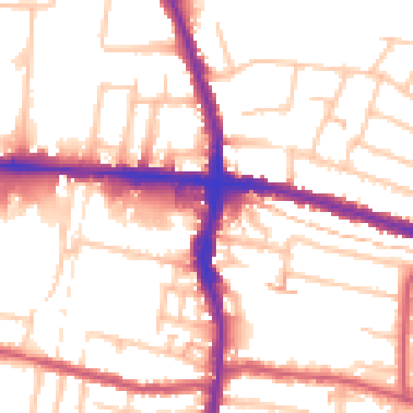
Daytime· 07:00 – 23:00
54.0dB

Night-time· 23:00 – 07:00
43.6dB