5 Ediswan Way, Enfield, EN3 4FN
About 5 Ediswan Way
5 Ediswan Way is a five-bedroom mid-terrace house in Enfield (EN3 4FN). It has a recorded floor area of 132 m² (around 1421 sq ft). The latest certificate (December 2017) returns a high B (score 88), putting the home a stone's throw from an A rating. The property has solar panels and an EV charger on record, all of which lower running costs and tend to lift resale appeal.
Across 2017–2022, sale prices on this property compounded at 2.1% per year. Last sale on file: £550,000 in August 2022. That sale was during the post-pandemic price surge, when transactions cleared materially above pre-2020 trend. 5 bedrooms is on the larger side for this postcode, where 3 is the typical count.
What this property has
Inside
- Bedrooms5
- Bathrooms2
- Dining roomYes
- CloakroomYes
- EnsuiteYes
Outside
- Private gardenYes
- DrivewayYes
Building
- Solar panelsYes
- EV chargerYes
- RefurbishedYes
Everything you need to know about 5 Ediswan Way
The true value, the hidden risks and the full sale history, in one report.
30-day money-back guarantee

The data behind every report


Energy performance
5 Ediswan Way's carbon output is low for the local stock.
EPC Rating
Planning history
5 Ediswan Way has no planning applications on record.
Notable planning nearby
39applications of note in the surrounding area
We flagged 1 thing worth checking at 5 Ediswan Way
Independent checks surfaced things a buyer would want to understand before offering. The report explains each one in full, with the underlying data and what to ask.
- Signs of HMO activity in the area
30-day money-back guarantee
Sales history & valuation
Latest sale on 5 Ediswan Way was the highest on Land Registry record across the postcode.
£567,000
Modelled from EPC, postcode comparables and a sale-price growth of 2.1% per year over 5 years.
£550,000
Growth on file: 2.1% per year over 5 years.
Sales timeline
29 August 2022Most recent
£550,000
+10.0%over 4 years21 December 2017
£499,995
Median price across the last 5 sales in EN3 4FN: £499,000 (2025–2018).
Versus other Ediswan Way homes
On years held, 5 Ediswan Way runs well behind the street norm.
Price per m²
£4,167
Street avg £3,900
Floor Area
132 m²
Street avg 127 m²
CO₂ Emissions
1.2 t/year
Street avg 1.2 t/year
Years Held
4 years
Street avg 8 years
Everything you need to know about 5 Ediswan Way
The true value, the hidden risks and the full sale history, in one report.
30-day money-back guarantee
The data behind every report
Similar properties nearby
The neighbourhood at a glance
Rail-style transport is unusually close for this postcode.
Crime
8/mo
Rising year-on-year across the wider district.
Nearest stop
0.1 km
Ponders End Park — bus stop.
Closest school
0.1 km
Heron Hall Academy. 46 schools nearby.
Go deeper on the local area
The full report breaks down crime, transport links, schools and air quality in depth.
Road noise across the postcode
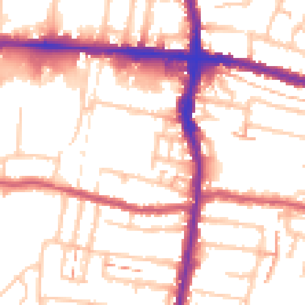
Daytime· 07:00 – 23:00
54.0dB

Night-time· 23:00 – 07:00
43.6dB